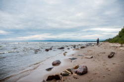
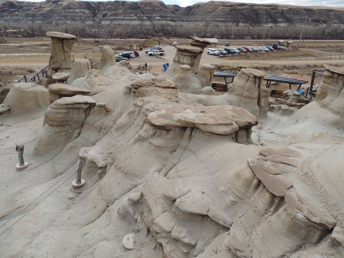
You may already know about the number one place in Alberta for seeing the natural hoodoos: the Hoodoos Trail and lookout point east of Drumheller. But these marvellous and gigantic structures can be appreciated in many other parts of Alberta. We even have northern badlands!
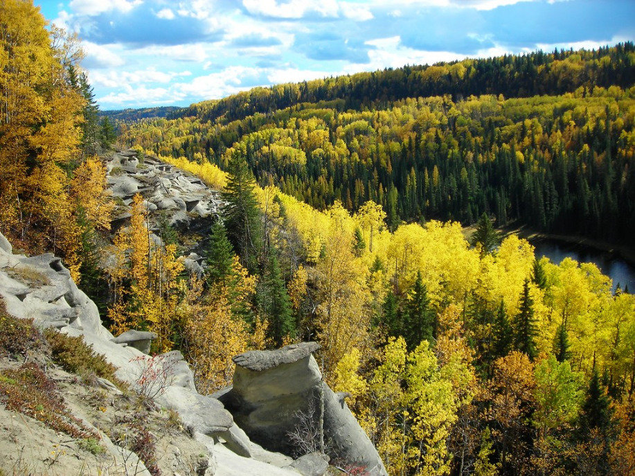
Hoodoos are pillars of weathered sandstone that jut out of the land at heights of 5-7m tall in Alberta’s badlands. The sandstone pillars are reinforced by their shale base and are an extremely fragile formation. The hoodoos are a small but interesting part of the larger Alberta Badlands landscape, which is most abundant in southeastern Alberta but can also pop up in unexpected places like northern Alberta and the Rocky Mountains.
You can find badlands formations across eastern parts of Southern and Central Alberta. Here are some of the most prominent places worth a trip.
Central-East Alberta
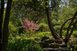
Credit: Travel Alberta
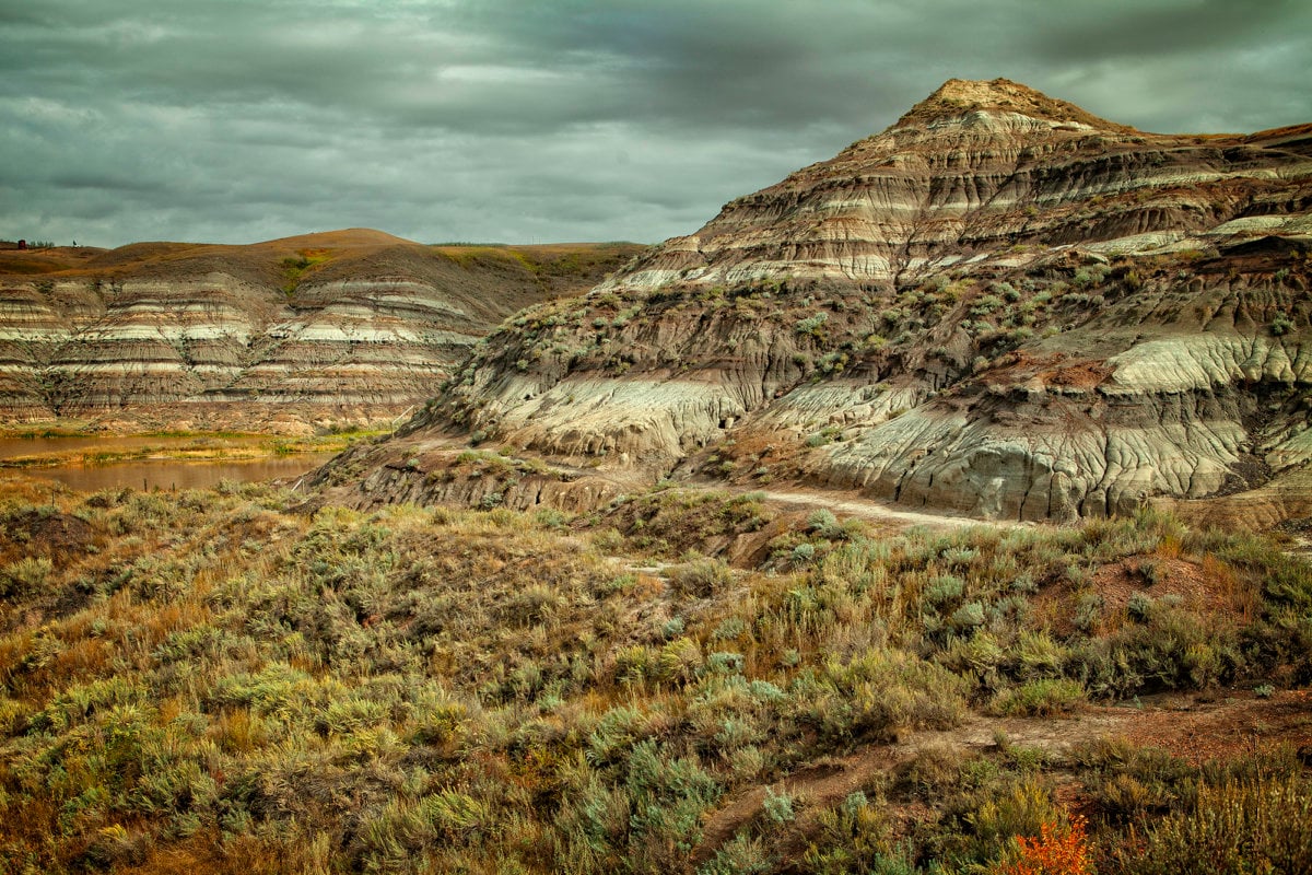
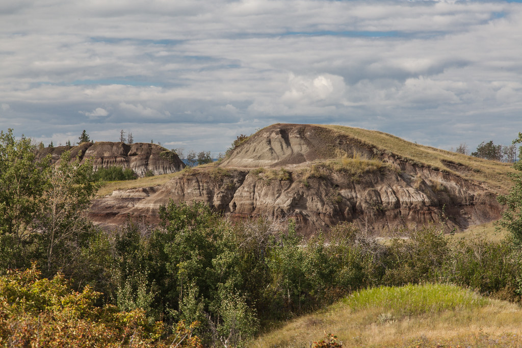
1. Hoodoo Trail
This popular viewpoint is a convenient stop off of AB-10, east of Drumheller and makes for a laid-back walk at just 1.4km looped. There are about 10 formed hoodoos in this area, all of which can be easily viewed from the trail. When you hike to the top, you are met by a wider view of the badlands with the tall hoodoos at the forefront.
Cost: $2 (for parking).
Getting there from Drumheller: Take AB-56 South which will turn into AB-10 East for about 15 minutes. It is a left turn onto Coulee Way from AB-10.
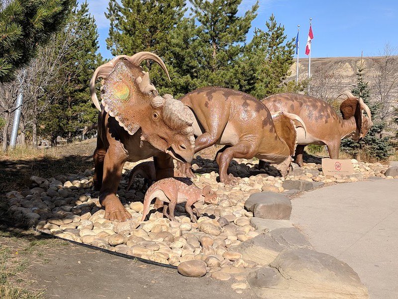
2. Dinosaur Provincial Park
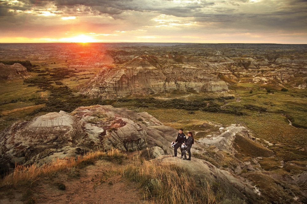
Travel Alberta/George Simhoni
There is a lot to do in this provincial park like camping, comfort camping (or ‘glamping’), canoeing, and picnics. But the easiest way to see the hoodoos of Dinosaur Park P is via the Badlands Trail. This 1.3km hike is relatively simple and allows you to see hoodoos, sandstone ridges, and small streams; it is the longest of the 5 hikes in the park. Dinosaur PP is about a 2.5-hr drive from Drumheller. Details
Getting there: Access the park on the west side via AB-876 South. From here, turn east onto Township Road 204 then north onto Range Road 125A.
3. Midland Provincial Park
There are several reasons to hike the trails of Midlands Provincial Park: you’ll get to see smaller hoodoos as well as large vistas of the badlands; one of the trails can connect you to the town of Drumheller; and one of the trails can take you to the Royal Tyrell Museum. The Parks sits on the northern edge of the Red Deer River and contains plenty of picnic space, trails great for cycling, and historical information to read along the way. Details
Getting there: This Park is just west of the town of Drumheller. Access the park via N Dinosaur Trail or AB-838 West.
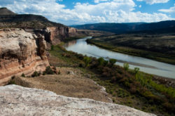
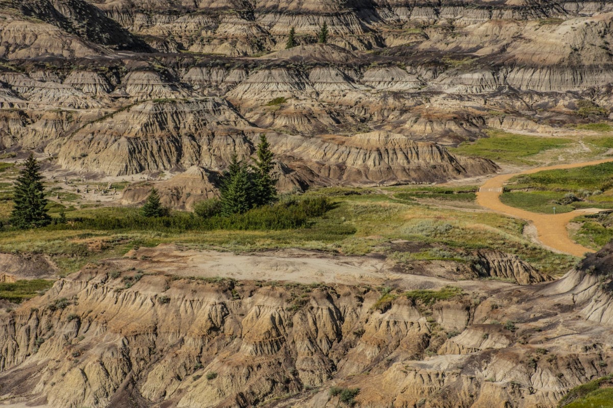
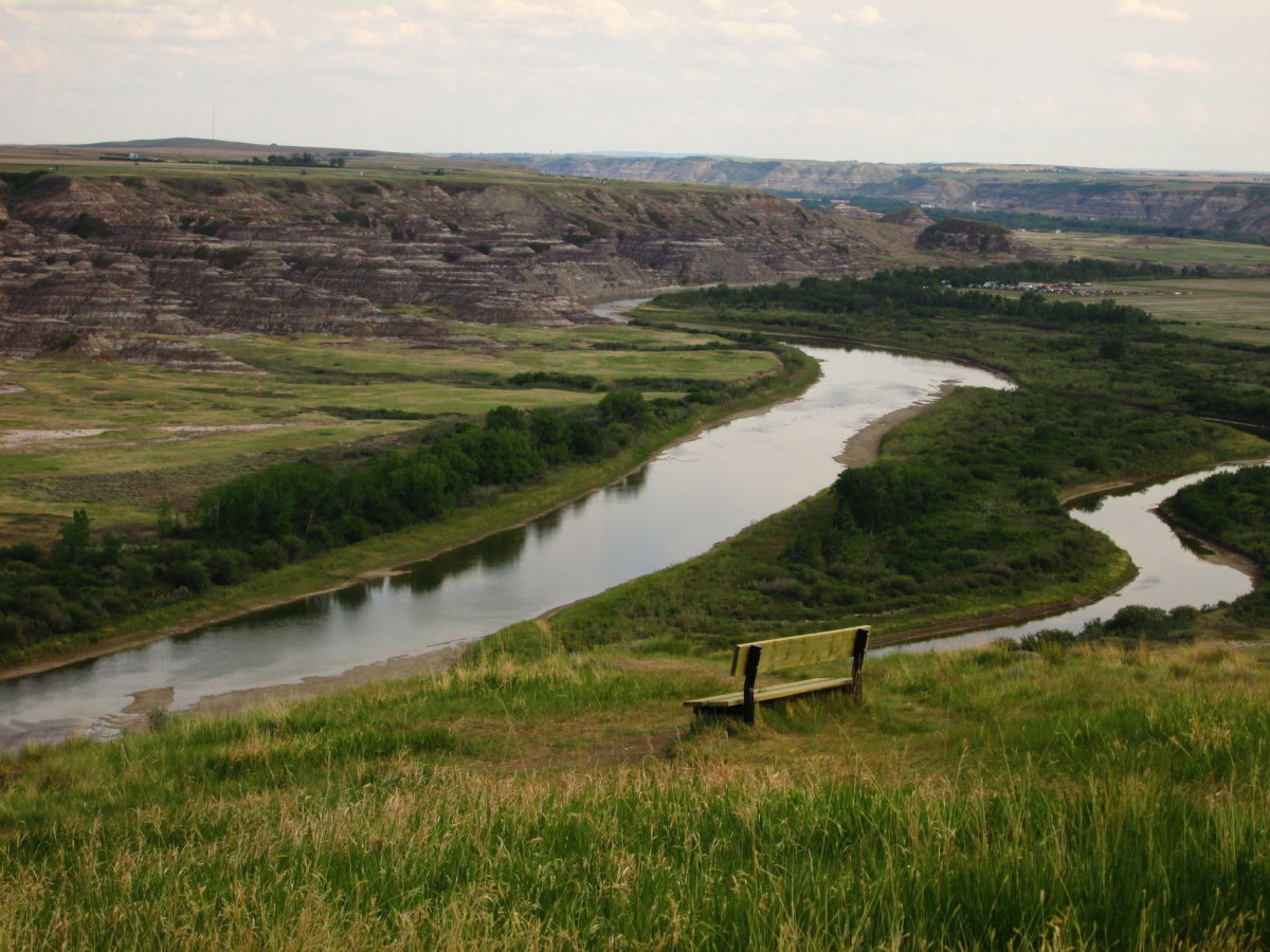
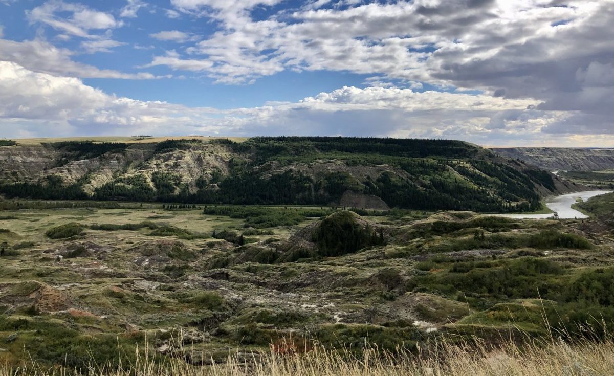
4. Horse Thief Canyon
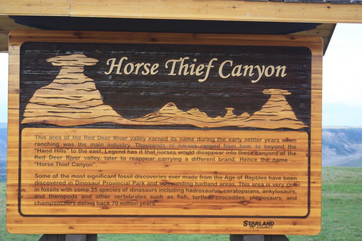
Danny Nicholson/Flickr
Right along the Dinosaur Trail Highway, and just as the Red Deer River bends to change direction, a quick stop off the road will lead you to an insane view. Horse Thief Canyon is known for its views and hiking trails: the views from the top of the canyon reveal all sorts of wildlife, plants, flowers, cacti, and gigantic rock. But venture on to the hiking trail to see these up close (maybe not the wildlife) as well as the hoodoos.
Getting there: 16 km from Drumheller, just past the Royal Tyrrell Museum on North Dinosaur Trail (AB-838) (Directions)
5. Horseshoe Canyon
This will give you a view of the badlands from the other side! Horseshoe Canyon is in Kneehill County on the southwest side of the Red Deer River and is easily accessed by car from the Royal Tyrell Museum and Midland PP. The views at this lookout point provide the rocky and jagged badlands blanketed by bright and vivid greens. Parking is $2 and the proceeds go to helping preserve the Canyon area. You can also camp close to the canyon at their local campground and see even more of the badlands on your weekend away. Details
Getting there: Horseshoe Canyon is on the north side of AB-9. If coming from the east, access AB-9 West via AB-56. If coming from the west, access AB-9 East via AB-21.
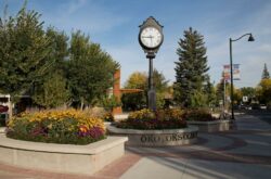
6. Orkney Viewpoint
Kneehill County is situated on the western slopes of the Red Deer River valley just opposite the Horsethief Canyon lookout. This day-use-only area offers washrooms and picnic areas, and views that seem to go on forever. You can catch an incredible sunset or sunrise in this location, and it is just a short drive from the town of Drumheller. Details
Getting there: If coming into Drumheller from the north, Orkney will be on your way into town. From AB-21, go east on AB-27, then south on AB837. From AB-10/AB-56, go north on AB575, then north on AB-837.
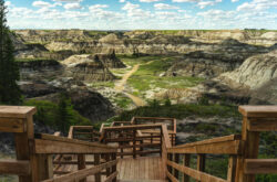
7. Dry Island Buffalo Jump Provincial Park
The Provincial Park does not have any official hiking trails but offers some sweeping and breathtaking views of the Red Deer River Valley. There are some spots and interpretive signs to explore, so keep your eyes open for smaller hoodoos in the rock faces. Along with beautiful valley views, you can also get in a picnic or small fire. The Tolman East Campground is located within the park, too, so if you’re here for a while this makes for a scenic spot to camp. Details
Getting there: the PP is at the end of Township Road 344. Access Township R. 344 via Range Road 215A or AB-21 — Hwy 585, Elnora
8. Big Knife Provincial Park

Credit: Alberta Parks
East of Red Deer is a wider portion of the Battle River, and on the south banks of this portion you can find the scenic campgrounds and trails of Big Knife Provincial Park. This can be considered the beginning of the badlands where the hills and small mountains resemble those of Drumheller, but with much more greenery. Once in the park, you can camp, hike, or take your boat on the Battle. To see some hoodoos out in the wild, take the Park’s River Flats Trail! Details
Getting there: park access is on the east side, via AB-855.
9. Tolman Badlands Heritage Rangeland Natural Area
The Tolman Badlands are protected areas that follow the Red Deer River south from Rumsey and Dry Island Buffalo Jump Provincial Park. Both sides of the river contain protected Tolman areas all the way to Midland Provincial Park. Both places are great camping options if you’d like to spend more than one day exploring the Tolman Badlands and Rangeland. Details
Getting there: various access points.
10. Dinosaur Trail
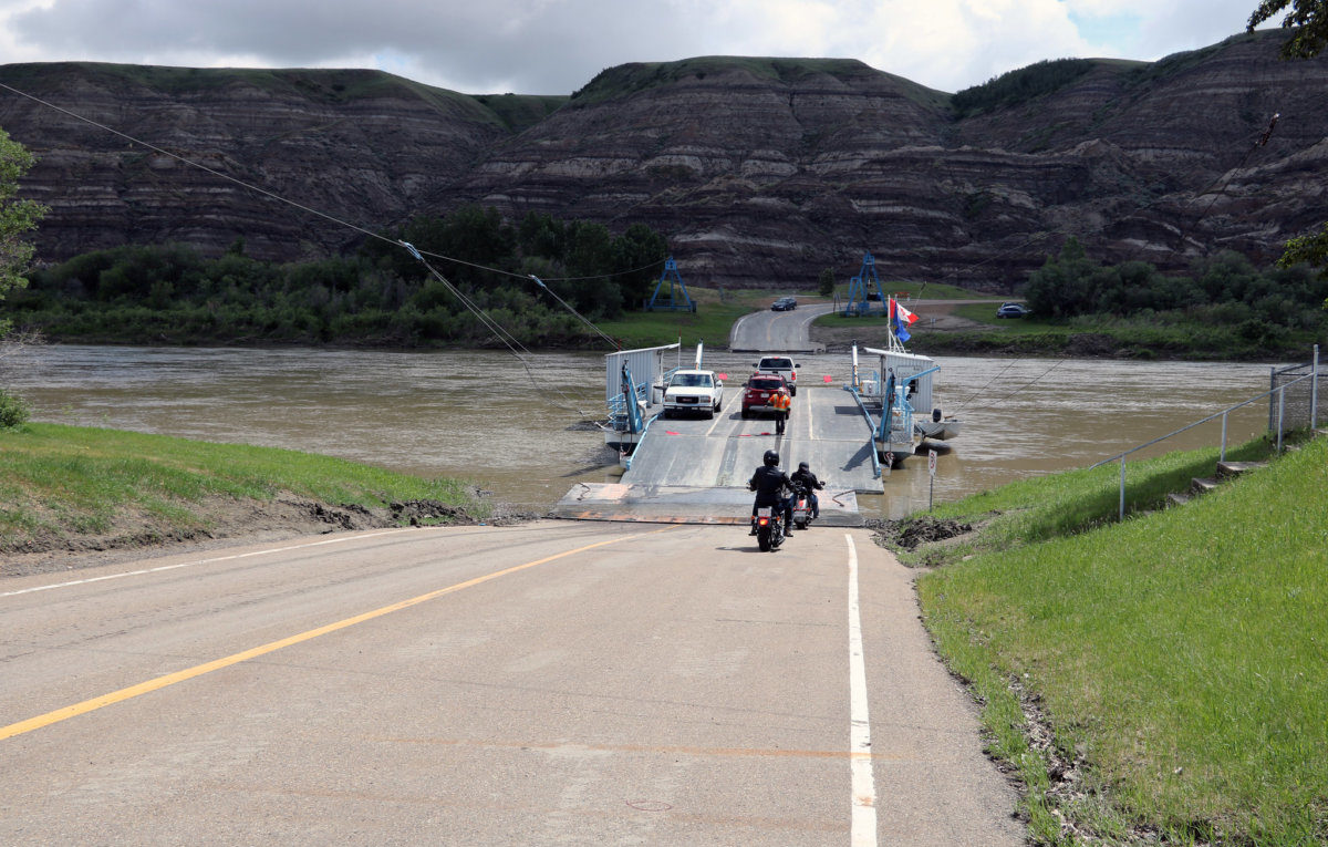
Dinosaur Trail will take you to some of the places mentioned above.
Starting from the town of Drumheller, head out of town on North Dinosaur Trail (838), which leads you past the Royal Tyrell Museum, following signs for Bleriot Ferry. Once you have crossed the river, turn left onto South Dinosaur Trail to return to Drumheller.
The viewpoints are incredible, giving visitors chances to view the valleys and canyons where dinosaur remains have been found. The loop will take you past Midland Provincial Park, Horse Thief Canyon, and gives you a chance to use the free, cable-operated Bleriot Ferry, which has been running since 1913.
You may like: Scenic Road Trip Alberta: Calgary to Edmonton Via The Badlands
FYI: The Star Mine Suspension Bridge, a popular tourist attraction in Drumheller which leads to hoodoo views, is closed until further notice due to safety concerns with the bridge.
Northern Alberta
1. Sundance Provincial Park
Credit: Alberta Parks
While Alberta’s hoodoos are usually associated with Drumheller and the badlands, we do have some northern hoodoos too. Sundance Provincial Park in Alberta’s northwest is an incredibly scenic area with a diverse landscape and variety of plants, trees, and wildlife. Within the park are a few hiking trails which lead you to the hoodoos of the north: Skyline and Hoodoo Trail, and the Wild Sculpture Trail. Details
Getting there: (Wild Sculpture Trail Day Use Area): Emerson Creek Rd. via Hwy. 748 and the Trans Canada Hwy.
2. Kleskun Hill Natural Area
Alberta Parks
For more northern badlands landscape, the Kelskun Hill area provides a unique scene of mixed grasslands, prairie, and small rock formations that stand out against the large open areas around it. Kleskun Hill Park and Natural Area is in the county of Grande Prairie, and just east of town near Bezanson. There is a lot to see and do: you can camp, hike, take a historical tour, watch for wildlife and wildflowers, or let the kids enjoy the playground. There are also several picnic sites around Kleskun Hill. Details
Getting there: The natural area is a short drive northeast of Grande Prairie. To access campground, take AB-43 and turn north onto Range Road 41 and then west onto Township Road 724.
Southern Alberta
1. Writing on Stone Provincial Park
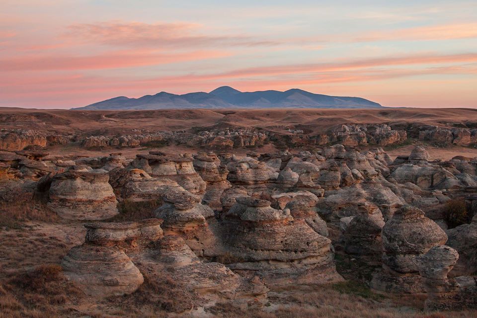
Credit: Alberta Parks
Travel to Alberta’s deepest southern Provincial Park to view incredibly unique landscapes that differ a bit from the more popular Drumheller hoodoos. There are three trails from which to see the Hoodoos in this Provincial Park: The Visitor Centre Trail, Hoodoo, and Battle Scene. The Visitor Centre trail is not even 0.5km but provides great scenic views of the hoodoos. The other two trails are closed for now for construction, but when open can get you nice and close. Details
Getting there: Access to the park is on the north side. Via AB-501 West or East, take a south turn onto AB-500. From here, it is a south turn onto Range Road 130A.
Trail Map & Interpretive Guide
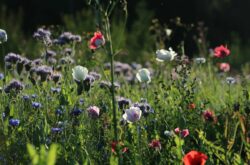
2. Kennedy Coulee Ecological Reserve
While this area provides some nice hikes, you could just come to watch the wildflowers bloom in spring! We may associate badlands with lots of rockface, but the Kennedy Coulee area proves they are so much more! Badlands also mean wildflowers, shrubs-a-plenty, and grass-covered badlands. The smooth rock still shows itself in places, but you may want to hike around to explore all the varied habitats and wildlife.
Keep in mind there is a border crossing into the United States for access to the area; the southern border of this ecological reserve is also the Canada/US border. Details
3. Hargrave Coulees Natural Area
The Hargrave Coulees Natural Area, formerly known as the Prairie Coulees Natural Area, will have you looking way up to the mix of smooth and jagged badlands but look way up for the birds! This unique part of Alberta is home to several large birds of prey like Golden Eagles. There are several creeks you can explore in the lower valleys, as well as the South Saskatchewan River. There aren’t many official trails within the area, but even a detour in the car is made worth it by these landscapes. Details
Getting to a viewing area: AB-41 northeast of Medicine Hat and then turn west on Township Rd. 174
Rocky Mountains
To Do Canada
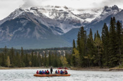
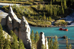
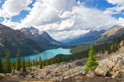
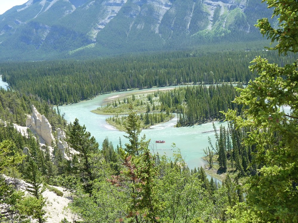
1. Banff National Park
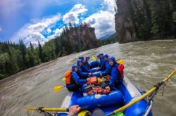
Surprise! There are hoodoos in the mountains, too. A popular and beautiful means of seeing the hoodoos of Banff are to take the easy hike around Surprise Corner to the Hoodoos Viewpoint. This area shows off the hoodoos along with views of the Bow River Valley and the Banff Springs Hotel. There is also public transit which runs from the nearby Tunnel Mountain Campground back into the Banff townsite. You can also see this if you join for guided rafting trips. Details
Getting there: east end of Buffalo Street, Banff, AB, in the Tunnel Mountain Campground
2. Canmore
The numerous trails within and surrounding Canmore and Bow Valley Wildland Provincial Park can take you to some pretty spectacular viewpoints, and many of them are interconnected. The Benchlands Ridge Trail, which connects to the Cougar Creek Trail, can lead to sweeping valley, creek, and small hoodoo views. The most convenient way to access the trail is at the Cougar Creek trailhead. Details
Getting there: parking is available in downtown Canmore as well as at the Cougar Creek Trail head. Enter Canmore from the Benchlands Trail. At the traffic circle, head north to Eagle Terrace Park. The hiking trail heads north from here.
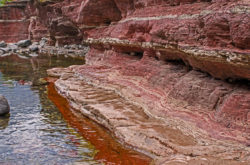
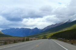
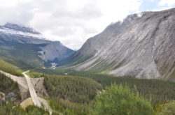
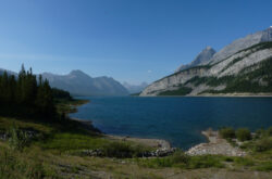
3. Nordegg
The Hoodoo Creek Trail in Nordegg can get you up close with some smaller hoodoos, more of a reddish colour. Along with the strange rock formations coming out of the side of the trail, you’ll also get to enjoy a view of the entire Abraham Lake and Mount Michener on the opposite side of the lake. Along the trail is a small waterfall, and at the end of the 2km trail is the entrance to a relatively small cave. Travel about 10 minutes further down the David Thompson for another spectacular view of Abraham Lake. Details
Getting there: The parking lot and trailhead are 30-minutes south of Nordegg off AB-11 (the David Thompson Hwy.)
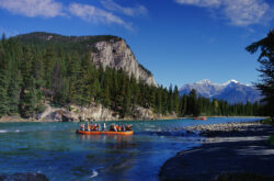
Badlands from the Water
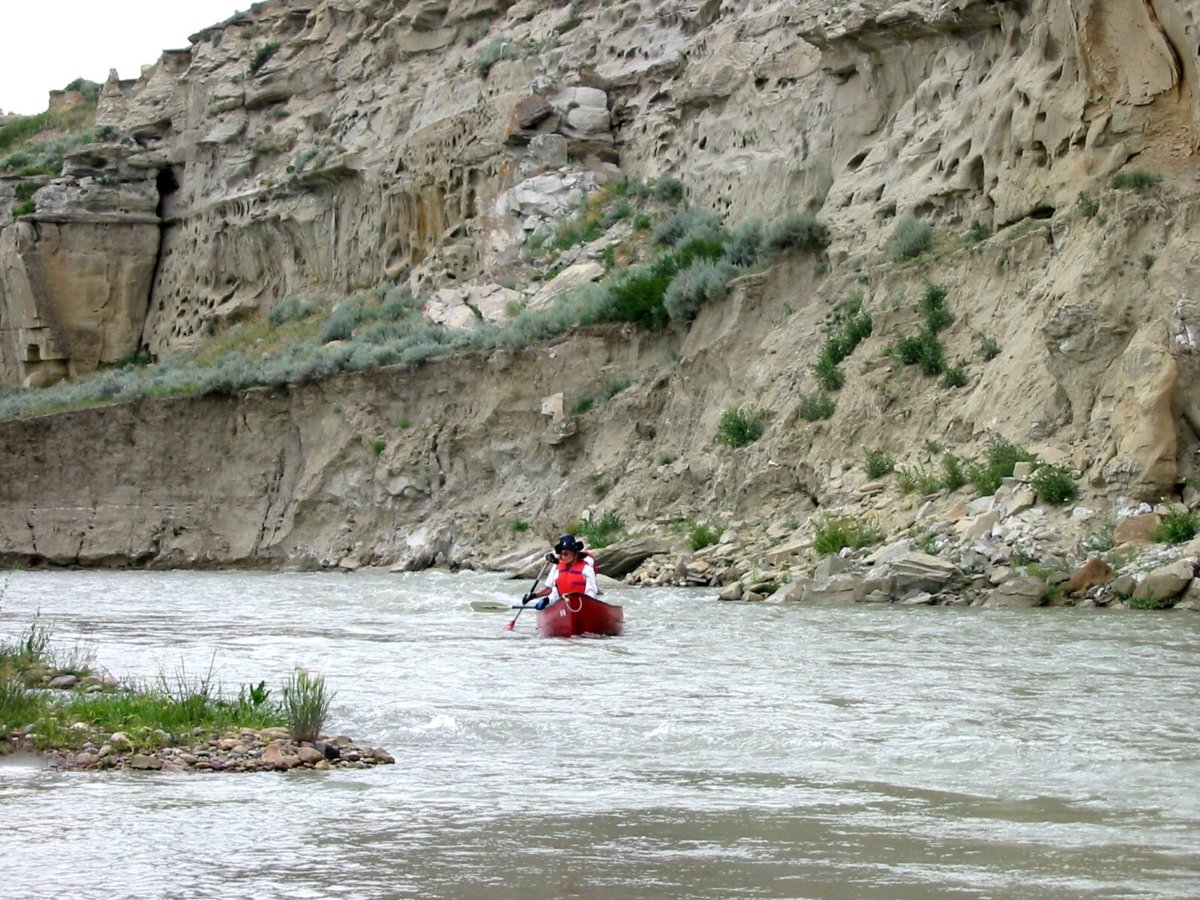
The portions of the Red Deer, Battle and Milk Rivers, which cut through the rocks of Alberta’s Badlands, are generally calm at low water levels, and therefore perfect for canoeing or kayaking.
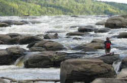
1. Red Deer River
A popular canoe launch spot is the Tolman East Campground in Dry Island Buffalo Jump Provincial Park. Once on the water, you can flow southeast through the large cliff faces from the Content Bridge all the way to the Bleriot Ferry PRA. If you’re feeling ambitious are a pro, you can take the river all the way to Dinosaur Provincial Park. (about 200km from Content Bridge).
Trail Map with Distances, Stop-off points, and surround highway maps
2. Battle River
The Battle River watersheds take up an enormous area of central Alberta. These are small creeks that flow out of the larger Battle River which eventually connects to the North Saskatchewan River. Amongst these low-lying creeks are numerous views you can only get from a boat on the water.
Paddle the Battle Guides and Maps
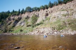
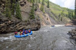
3. Milk River
Way down in the south of Alberta you will come across a unique opportunity to raft the Milk River. Approximately an hour from Lethbridge, this is a paddling adventure that will take you two to three days. There are some spectacular camping spots along the way, and your destination is Writing-On-Stone Provincial Park. There is phenomenal scenery along the way as your pass through the prairies and into the unique landscape of Writing-On-Stone.