Overview
About Port Union Waterfront Park, Scarborough, Ontario
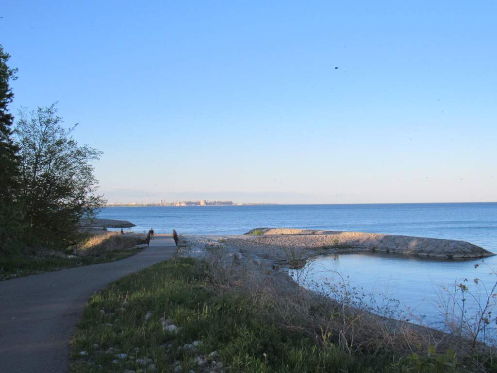
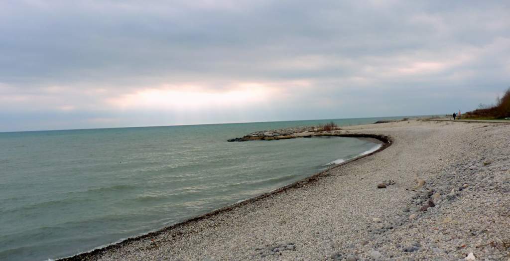
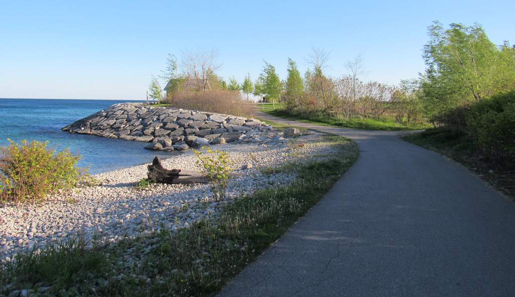
The Port Union Waterfront Park was built as part of revitalization of Toronto’s Waterfront by Toronto and Region Conservation Authority. The 3.8 km Port Union waterfront trail runs across the entire length of this linear 13.5 hectares park. This ‘Port Union Waterfront trail’ – part of the Waterfront trail that extends from Niagara-0n-the-Lake to Quebec border – connects the Toronto waterfront trail (Martin Goodman Trail) to First Nations Trail, Pickering. A series of headland beach systems (rock structures built to prevent erosion and protect the shoreline) dot the park shoreline. The park was completed in 2012.
What to do at Port Union Waterfront Park, Scarborough?
Attractions & Things to do
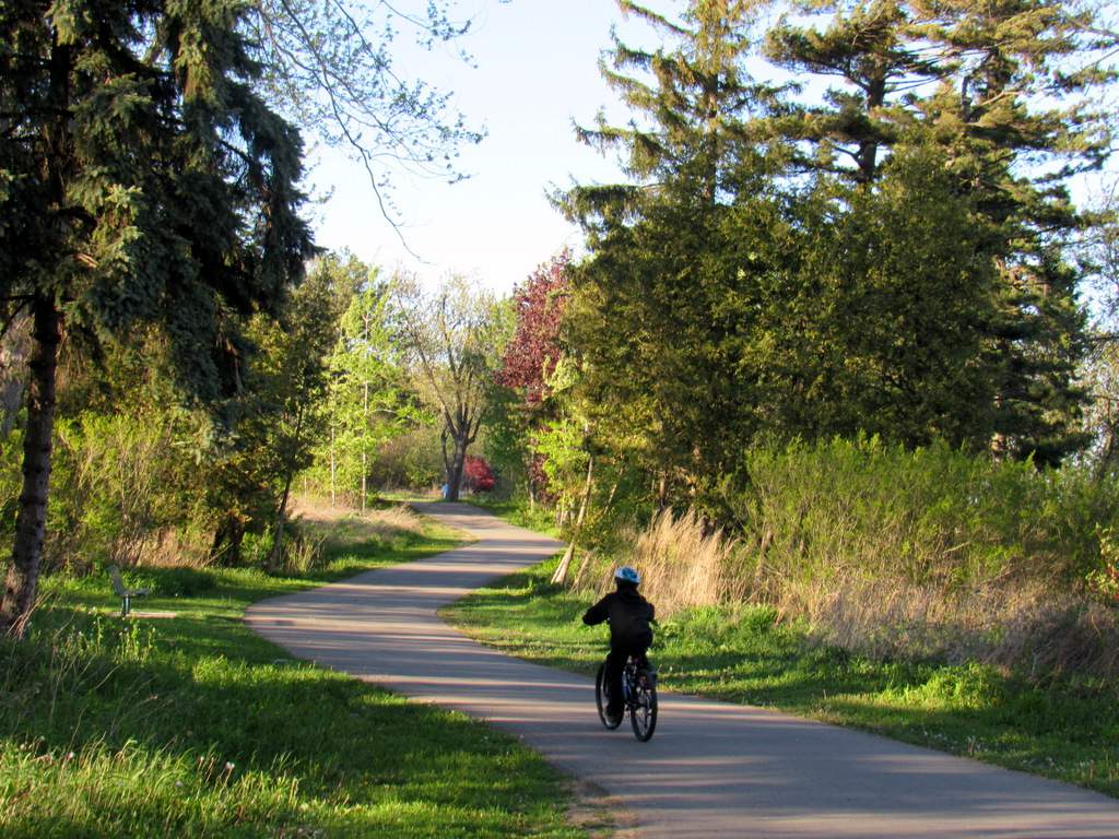
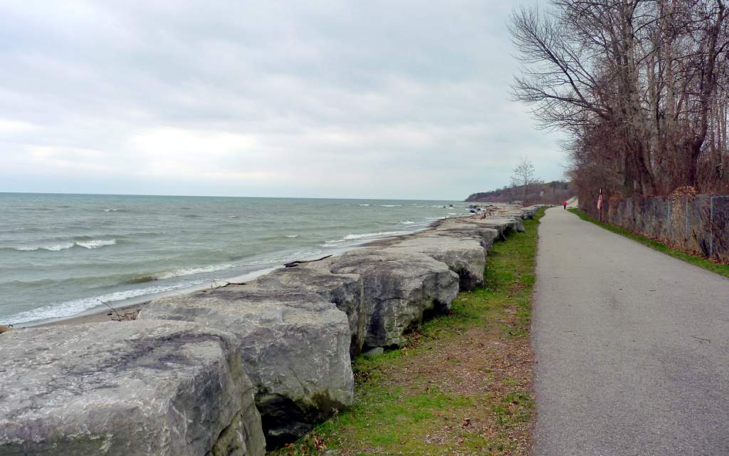
Walk the 3.8 km trail that has continuous views of Lake Ontario, enjoying great scenery. This is a multi-use trail, so you can bike, hike, or skateboard.
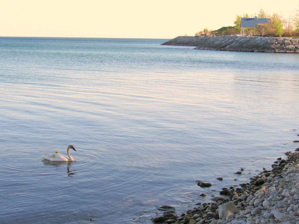
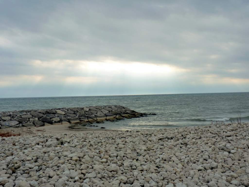
Rest-a-while at cobblestone beaches, watch wildlife or birdwatch. You can see trumpeter swans, other common waterfowls and shorebirds. The headlands that extends onto Lake Ontario provide great access points to enjoy Lake Ontario at its finest.
Learn about local ecosystems and aquatic habitats through interpretative display boards along the trail.
Have a beach day at Rouge Beach (eastern edge of the park, part of Rouge Urban National Park).
When to visit Port Union Waterfront Park?
Port Union Waterfront Park /Trail Hours
Open year round, day light hours recommended.
Trail is not maintained in winter.
Time required to visit:
1 hour to half a day. The trail from Port Union Village Common Park to East Point park is shorter (~ 1. 4 km one way) than from Port Union Village Common Park to Rouge Beach trail.
Main Headland called Pedestrian Node with Lookout Shelter.
How much to visit Port Union Waterfront Park?
Free.
How to get to Port Union Waterfront Park?
Directions and Location:
The Port Union Waterfront Park is situated at the eastern border of Toronto, between Highland Creek and Rouge River.
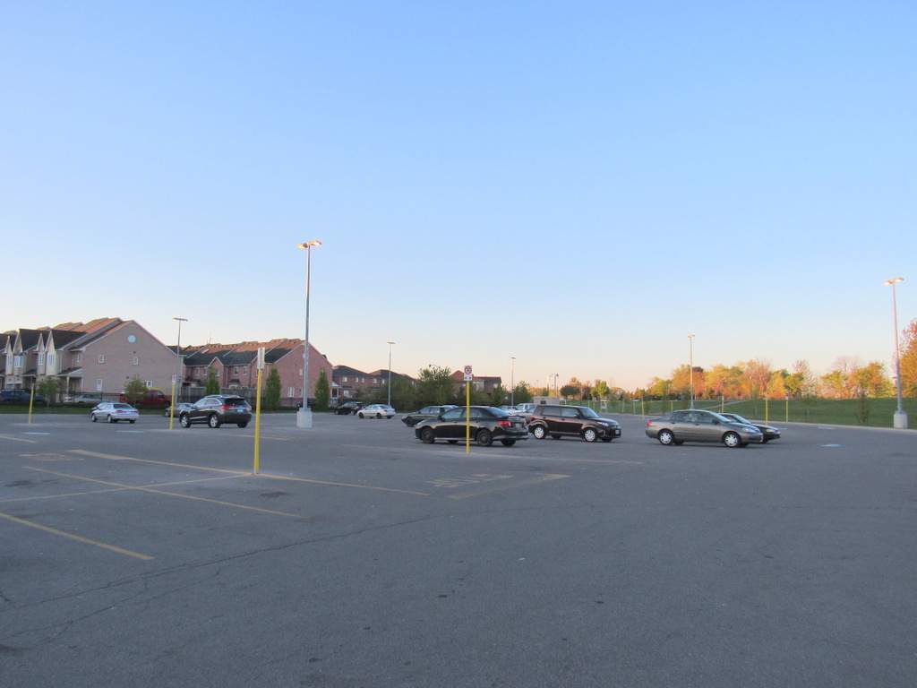
1. If you do not live in the neighbourhood, the best way to get to the park/trail by car is to drive to Port Union Village Common Park situated at the southern end of Port Union Road.
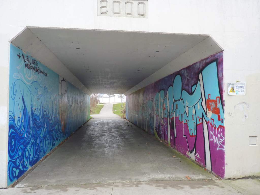
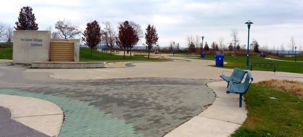
Address of the Port Union Village Common Park: 105 Bridgend Street, Toronto. For directions see the map tab. The Port Union Waterfront Park is connected to Port Union Village common Park through an underpass. This underpass leads to the main (larger) headland called Pedestrian node.
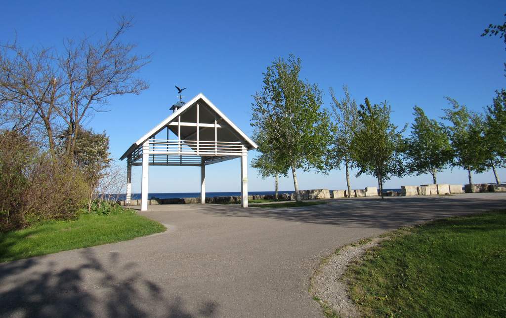
Lookout Shelter at Pedestrian Node (largest headland of the park)
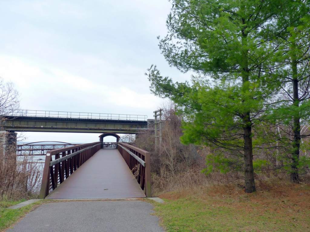
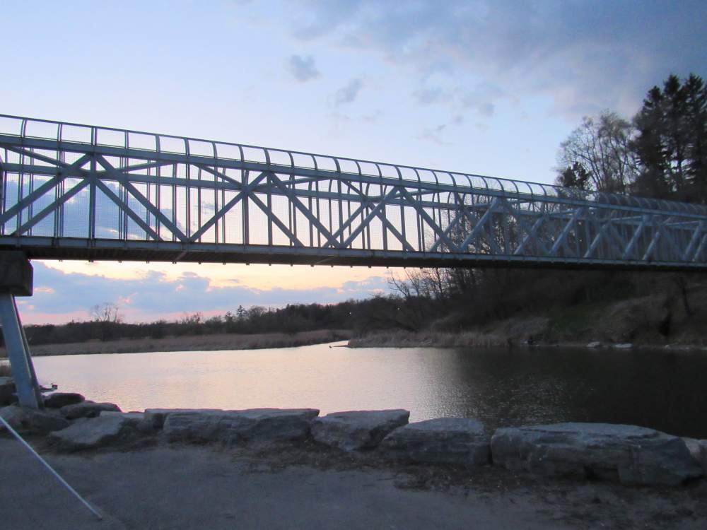
2. You can also access the trail (park) from Rouge beach and from city of Pickering waterfront trail through the pedestrian bridge over Rouge River. Parking is available here.
-

- From Lower Highland Creek Park.
-
- Bridge Over Highland Creek.
-
- Underpass from Port Union Village Common Park to Port Union Waterfront Park
-
- Pedestrian Bridge over Rouge River.
-
- Parking lot at Port Union Village Common.
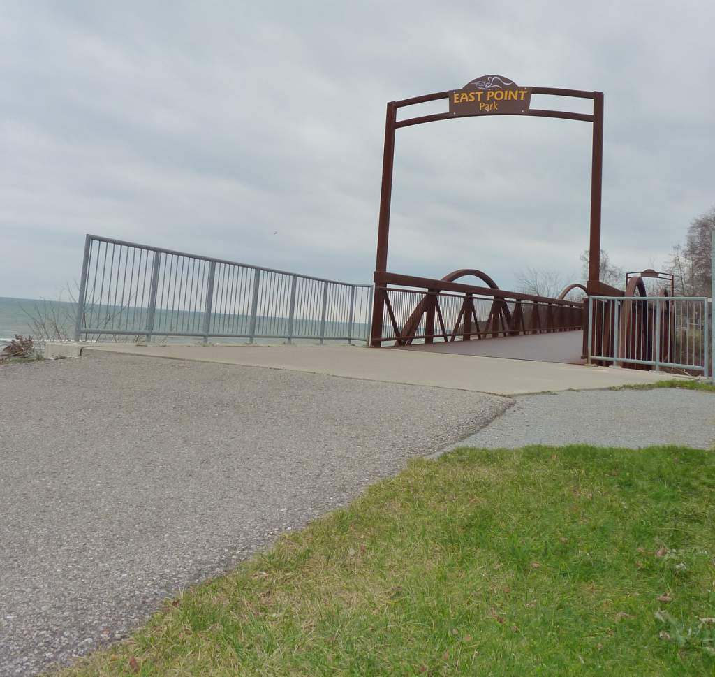
3. The Port Union Waterfront Park starts at the eastern end of East Point Park waterfront trail. The park can be reached through southern end of Highland Creek Trail (from Lower Highland Creek Park).
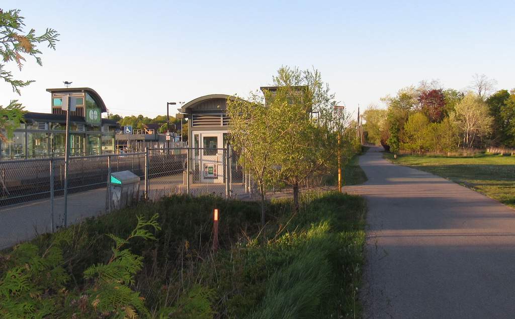
4. You can also easily access the park through public transit – Pedestrian tunnel at the Rouge Hill GO Station opens to the park side. You may also reach Village Common Park by walking west on the trail from the parking lot. TTC Route: Take bus to Rouge Hill Go Station. 85A Sheppard East or 38 Highland Creek.
Durham Regional Transit also runs service to Rouge Station.
What about Amenities & Accessibility at Port Union Waterfront Trail?
Accessibility
The trail is asphalted and completely accessible. If you are traversing the trail from Rouge beach, the trail climbs for ~200 metres immediately after the bluffs.
-
- Port Union Village Common Park
-
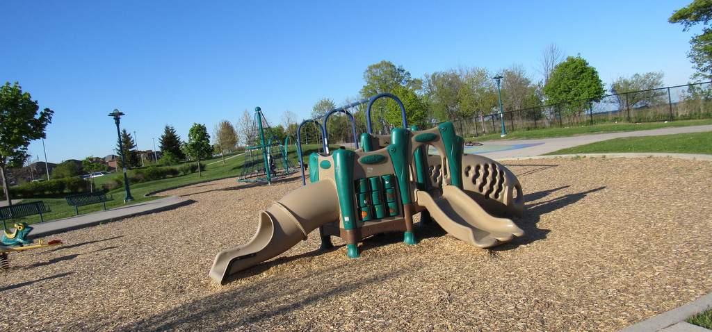
- Port Union Village Common Park – Childrens Play Area
-
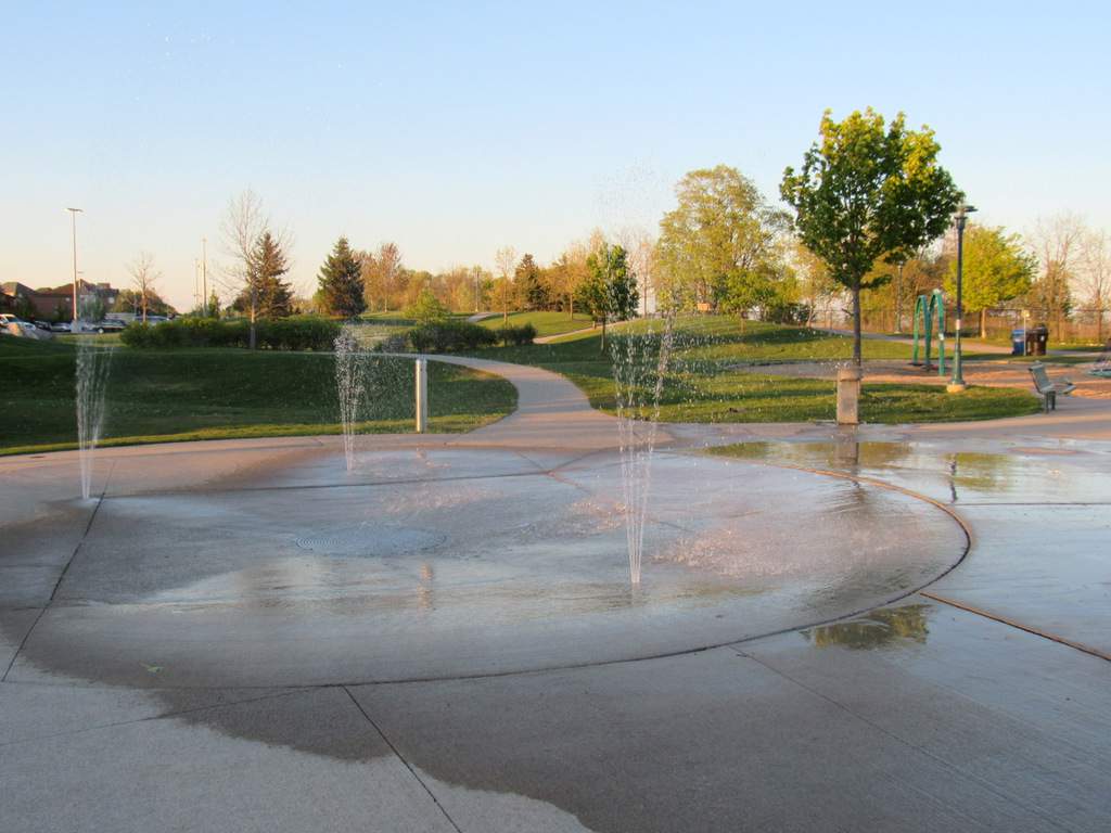
- Port Union Village Common Park – Spray Park.
Amenities:
Benches along the trail.
Interpretive boards explaining the park ecosystem.
Bike Racks.
Wash rooms at Rouge Beach and Port Union Village Common Park.
Spray park and children’s playground at Port Union Village Common Park.
I’m looking for more information about the artist that painted the underpass