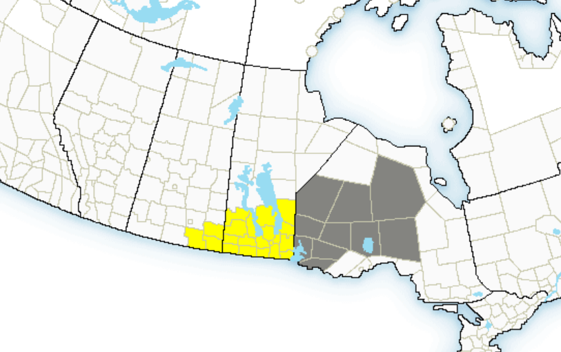
Environment Canada is warning against travel in southern Manitoba including Winnipeg and southeastern Saskatchewan due to a major spring blizzard predicted to start this Wednesday.
The weather agency says the blizzard caused by a Colorado low will move towards Minnesota Tuesday night and is expected to bring 30-50 cm of snow accompanied by northerly winds gusting 70-90 km/h giving zero visibility.
Credit: Environment Canada
The weather alert reads, “By Wednesday morning heavy snow will be falling in much of the area as the storm continues to push northward, and snow accompanied by strong northerly winds is expected to continue right through to early Friday morning as the low slowly pivots through Minnesota on it’s way into northwestern Ontario. By Friday morning widespread snowfall accumulations of 30 to 50 cm are expected…with possible accumulations approaching 80 cm in the higher terrain of western Manitoba and the western Red River Valley.”
As of Apr 10, Winnipeg has had 174 cm of snow so far this winter. With the upcoming #MBstorm this week, our seasonal snowfall could hit the 200 cm mark for only the 8th time in 150 years of records pic.twitter.com/1eq3VA8HRn
— Rob’s Obs (@robsobs) April 11, 2022
The agency is asking those in the region to prepare for the storm by stocking up on supplies and medications as widespread highway closures are a “near-certainty” and travel within communities may become impossible.
The blizzard is expected to continue on Thursday with conditions predicted to improve on Friday as the storm moves into northern Ontario.