The Ottawa Valley area is a hiking paradise where beautiful hiking trails are located just minutes away from the Ottawa city centre.
National Capital Commission
Set out for a hike for some fresh air and a chance of scenery on some easy to moderate trails that will get you moving and allow you to see some of the most incredible vistas in the Ottawa region. (Gatineau Park Trails including Lusk cave and waterfall hike are not included)
Pinhey Forest Trails
The Pinhey Forest Trails run through the Pinhey Forest, a place with a remarkable 10,000-year-old sand dune ecosystem. The trails run for 6.4 kilometres and are best trekked from April to October, with their classic, natural forest setting.
Where: Pinhey Forest
Difficulty: Easy
Dewberry Trail
This little 1-kilometre path runs through the boreal forest and is close to downtown Ottawa. For those seeking a nearby escape for a short time in nature, the Dewberry Trail is ideal.
Where: Dolman Ridge Rd.
Difficulty: Easy-Moderate
Stony Swamp Loop
Located in Stony Swamp, this loop takes hikers through some of the most ecologically diverse landscapes in the Ottawa Valley. With over 700 species of plants and numerous animal species, this 4-mile loop is ideal for those who want to explore the area’s flora and fauna.
Where: Stony Swamp
Difficulty: Easy
Mer Bleue Conservation Area Loop Trail
This 7-kilometre loop trail is a moderately difficult forest trail that is dog-friendly and runs through the famous Mer Bleue Conservation Area. This northern boreal landscape, just minutes from Ottawa, serves as a habitat for rare wildlife populations.
Where: Mer Bleue Conservation Area
Difficulty: Moderate
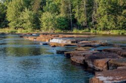
Old Quarry Trail
Divided into two loops, a medium 2-kilometre one and a long, nearly 3-kilometre one, this relaxed hiking trail offers interpretation panels along the trail so hikers can learn about the geological history of the region.
Where: Eagleson Rd, Kanata
Difficulty: Easy
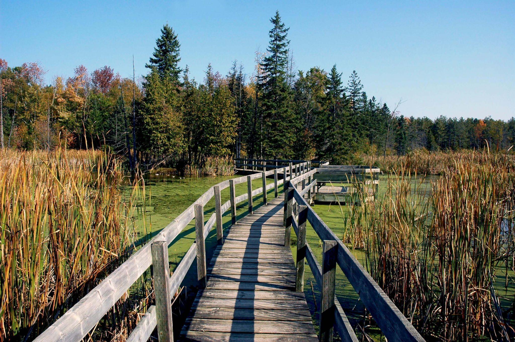
Sarsaparilla Trail
This short, under-1km trail is a highly accessible trail that includes a dock overlooking a beaver pond. The Sarsaparilla Trail is likely the shortest of all the Greenbelt Trails, and passes by beautiful, down-to-earth scenery.
Where: Old Richmond Rd, Nepean
Difficulty: Easy
Pine Grove Trail
Located in Pine Grove in southern Ottawa, this forest and its trails are particularly suitable for outdoor enthusiasts and those looking for places to hike and take photographs. Expect Eastern Ontario forests that have a historical past.
Where: Pine Grove Forest
Difficulty: Easy
Earth Star Loop
The Earth Star Loop is named after the curious earth star mushroom found in the late summer near the trail. The loop passes many different landscapes such as cedar woods, red pine plantation, mature woods, and open meadows.
Where: Rideau Trail
Difficulty: Easy-Moderate
Trail 5353A
Located in the Mer Bleue Conservation Area, Trail 5353A is a lengthy 6.7 kilometres that showcases rare flora and fauna in the area along a wide trail.
Where: Mer Bleue Conservation Area
Difficulty: Moderate
Ottawa Carleton Trailway – Trans Canada Section
The Ottawa Carleton Trailway is a 16-kilometre trail with pleasant scenery and gentle grades for a warm hike through a primarily urban environment.
Where: Trans Canada Trail
Difficulty: Easy-Moderate
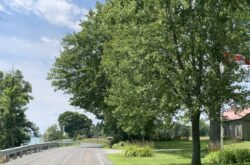
Merrickville – Rideau Trail
This section of the Rideau Trail is primarily located in Merrickville, a village dubbed Canada’s Most Beautiful Village, known for its Victorian heritage buildings and its proximity to the Rideau Canal. The trail celebrates a rural area with many natural attractions.
Where: Rideau Trail Wood Road – Grenville Street
Difficulty: Easy-Moderate
Trail 50-52
Located at the Mer Bleue Conservation Area, like many of the trails on this list, trail 50-52 runs through one of the largest bogs in the whole of Southern Ontario. It displays much of the northern ecosystem and wetlands that define the conservation area.
Where: Mer Bleue Conservation Area
Difficulty: Moderate
Aviation Pathway
This 5-kilometre pathway is known for having the Canada Aviation Museum located on the pathway, hence its name. Passing through wooded and open areas, this relatively flat hike is scenic and suitable for all skill levels.
Where: Aviation Parkway, Vanier
Difficulty: Easy-Moderate
Chapman Mills Trail
Chapman Mills Trail is located in a 23-acre area of conservation land by the Rideau River. The trail has many walkways and boardwalks that lead hikers through stunning habitats and past interpretive signs for learning.
Where: Chapman Mills Conservation Area, 253 Winding Way, Nepean
Difficulty: Easy
Beaver & Chipmunk Trails
This 2.6-kilometre trail is a friendly trail with a picnic area, boardwalk, and lots of birds and chipmunks that accompany you along your way. The short and easy trail is easily accessible and is perfect for a quick walk out in nature.
Where: Moodie Dr, Nepean
Difficulty: Easy-Moderate
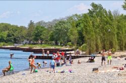
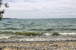
Bill Holland Trail
The Bill Holland Trail is located by the Ottawa River and has plenty to see on the way, with a viewing platform, inland ponds, blooming wildflowers, turtle nesting areas, and a sandy shoreline.
Where: Ottawa River
Difficulty: Easy-Moderate
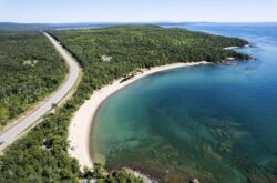
Basswood Trail
Starting at the Crappie Bay canoe launch, the Basswood Trail is populated with maple, ash, and basswood trees for a beautiful short hike past trees and views of the Ottawa River.
Where: Ottawa River
Difficulty: Easy
Experimental Farm Pathway Trail
The Experimental Farm Pathway Trail is home to the Canada Agriculture Museum, a leisurely hike that is relaxing and includes some calming scenery, such as fields and barns.
Where: Runs through Nepean
Difficulty: Easy-Moderate
Fallowfield Section
The Fallowfield Section of the Rideau Trail passes through rural landscapes like Monaghan Creek and busy farmland.
Where: Fallowfield, Rideau Trail
Difficulty: Easy-Moderate
Conroy Pit Loop
The Conroy Pit Loop is a 3.2-mile loop near Ottawa’s centre, featuring wildflowers and an off-leash dog park.
Where: Conroy Rd
Difficulty: Easy
Jack Pine Trail
The Jack Pine Trail has over 560 native plant species and a whole bunch of wildlife, including tons of bird species like blue jays and finches. The route is comfortable and perfect for those who enjoy a bit of exploration.
Where: Moodie Dr, Nepean
Difficulty: Easy-Moderate
New York Central Fitness Trail
The New York Central Fitness Trail runs 10 kilometres between the villages of Embrun and Russell. This completely flat, paved trail is named after the railway that ran between Ottawa and New York City in the early 1900s.
Where: Runs between Embrun and Russell
Difficulty: Easy-Moderate
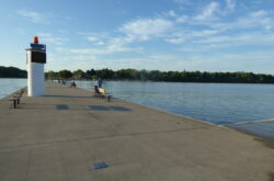
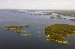
Ottawa River Pathway
The Ottawa River Pathway is located in the city of Ottawa and is divided into an eastern and western section. It features gentle greenery and a river, and is perfect for wildlife watching and a quick getaway from the city.
Where: Through Ottawa
Difficulty: Easy-Moderate
Shirley’s Bay Shoreline Trail
The Shirley’s Bay Shoreline Trail is 4 kilometres of trails that cross through young forests and fallow fields and provide a look at the Ottawa River. There is a picnic area and a public boat launch on the trail as well.
Where: Shirley’s Bay, Kanata
Difficulty: Easy-Moderate
Violet Loop – Rideau Trail
Violet Loop is part of the Rideau Trail, and is a walking loop in the Marlborough Forest that is well-forested and features wetlands and pasture land.
Where: Rideau Trail -County Road 6 west of North Gower and north of Burritts Rapids
Difficulty: Easy-Moderate


Thanks for this resource much appreciated