Environment Canada has issued a blizzard warning for Greater Toronto Area as a possible historic snowstorm hit the area today.
The agency is warning of “hazardous blizzard conditions with heavy snow and strong winds resulting in widespread near zero visibilities.”
Blizzard conditions with gusty winds and persistent visibility near zero in snow and blowing snow are expected or occurring.
Some serious delays. @TorontoMedics are stuck everywhere. I am shocked, these rear wheel drive Ambulances don’t have chains on them, or some serious winter tires.
Reports @TPSOperations are transporting some folks to hospital because of the delays. #ONStorm pic.twitter.com/XthdMuV5oM
— Kyle.Taylor (@livingbyyyz) January 17, 2022
Damn there is a lot of snow! #ONStorm pic.twitter.com/IZ5DSnvZ2U
— Jeff Nehajowich (@ElYeffy) January 17, 2022
According to Environment Canada, worst conditions are expected until 11:00 a.m. E.S.T. and heavy snow with peak snowfall rates of 8 to 10 cm per hour are occurring currently in GTA.
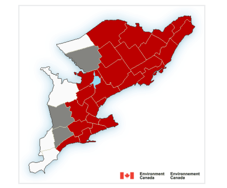
Blizzard warning is currently in place for Belleville – Quinte – Northumberland, City of Hamilton, City of Toronto, Halton – Peel, Niagara, and York – Durham region.
Today’s snowfall is expected to break historic snowfall records as the most snowfall received on a single day.
Most snowfall was recorded on December 11, 1944 with a total of is 48.3cm.
Environment Canada is expecting a snowfall total of up to 50 cm today.


