The Bruce Trail Conservancy (BTC) has launched the Bruce Trail GeoHikes Hub, a free virtual geology education program developed in partnership with the APGO Education Foundation and McMaster University’s School of Earth, Environment & Society.
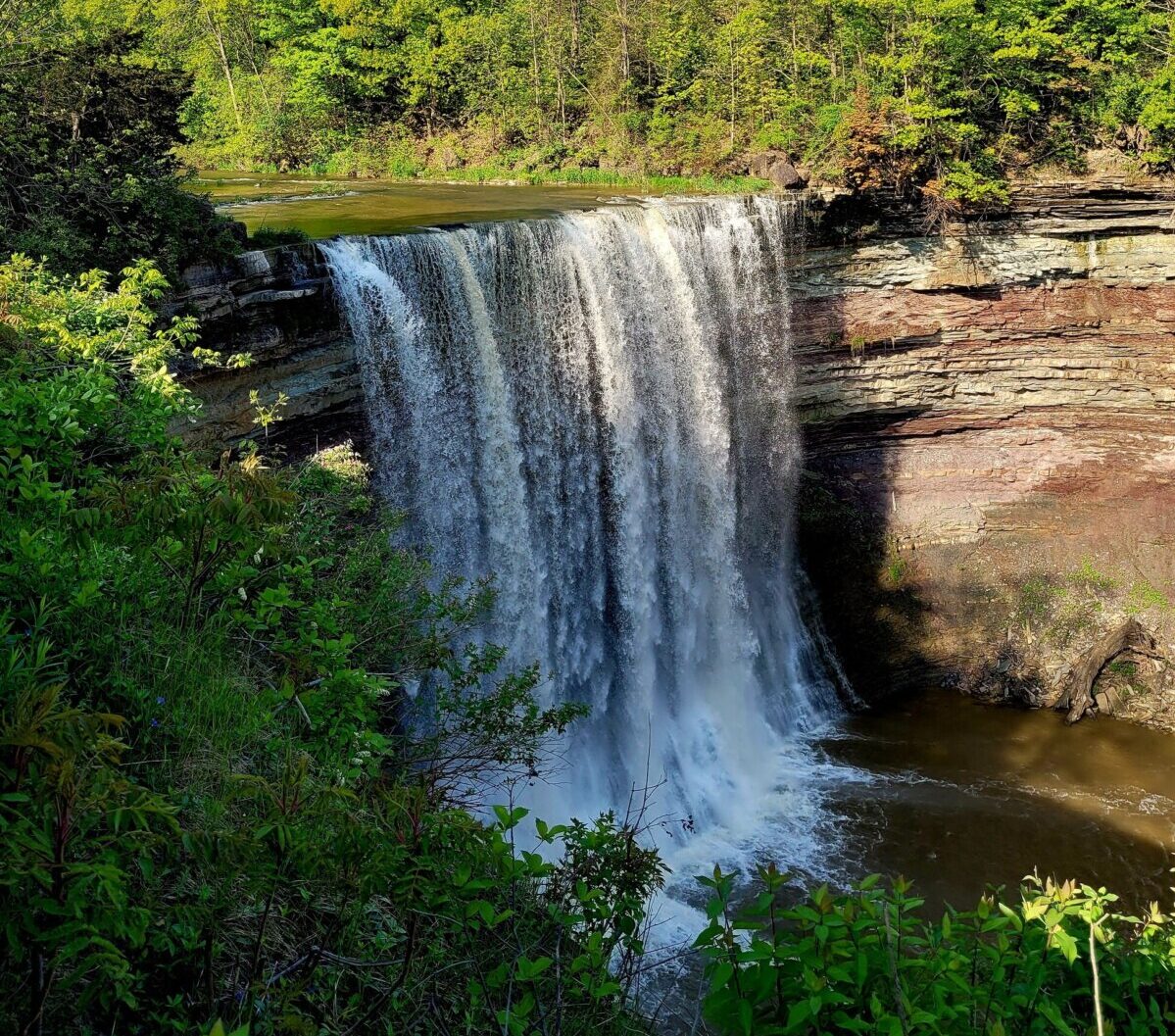
Ball’s Falls. Photo by Brooke Kochan. (CNW Group/Bruce Trail Conservancy)
This initiative offers an interactive way for the public to explore the geological features of the Niagara Escarpment, a UNESCO Biosphere.
The Bruce Trail, Canada’s oldest and longest marked footpath, stretches over 900 km from Queenston to Tobermory, with 450 km of side trails. It offers diverse landscapes, including forests, waterfalls, and rocky crevices, providing an inspiring outdoor experience for explorers of all ages.
GeoHikes are self-guided, one to three-hour tours designed to enhance visitors’ understanding of the region’s geological history. Users can follow the guides while hiking or explore them virtually from home or in educational settings. Features include 3D models of fossils and rock formations, 360-degree images, drone footage, and interactive overlays with geological insights.
Nine GeoHikes are currently available, covering locations such as Ball’s Falls, Tiffany Falls, and the Cheltenham Badlands. An additional 12 will be released this spring, including four on the Saugeen (Bruce) Peninsula. Dr. Carolyn Eyles of McMaster University noted that students played a key role in researching and compiling the GeoHikes, gaining experience in public science communication.
The BTC continues its mission of preserving the Bruce Trail and protecting the diverse ecosystems along its 1,300 km path, with the GeoHikes program serving as a new educational asset for hikers and learners alike.


