If you want to tick off two summer activities on your Alberta bucket list, then take a hike along the Siffleur River crossing a suspension bridge to reach a stunning waterfall.
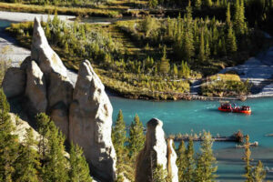
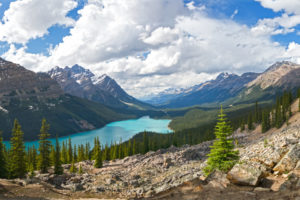
You can visit the area between Abraham Lake and the Icefields Parkway any time of year to find beauty. The entire area is a holy grail for hikers, campers, photographers, and tourists alike. Why? Because of places like Siffleur Falls, Abraham Lake, the Kootenay Plains, and the Rockies in general.
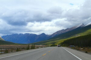
Venture off the main highway, and you will find a wide variety of hiking trails, in terms of difficulty, all of which lead to their own unique views.
Siffleur Falls is one of the popular stops off Highway 11 (David Thompson Hwy) because the trail is long, meandering, and simple to hike, yet you’re rewarded at the end with waterfall views.
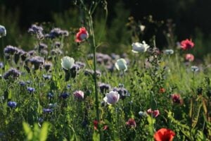
Often, the incredible views from the mountain trails involve a challenging hike, but Siffleur Falls is family-friendly and dog-friendly (if dogs are on a leash). There is ample parking at the trailhead, as this is also the start of a few other trails. Along your way, watch for wildlife of all sizes, blooming wildflowers, and unique landscapes.
But before you head to Siffleur Falls and the Kootenay Plains ER, here is a short guide to what you need to know about the hike to Siffleur Falls.
Planning Your Trip to Siffleur Falls
What:
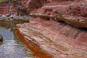
Siffleur Falls lies within the Kootenay Plains Ecological Reserve, which is also home to a wide variety of wildlife and plant species.
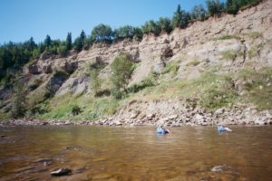
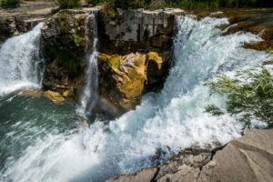
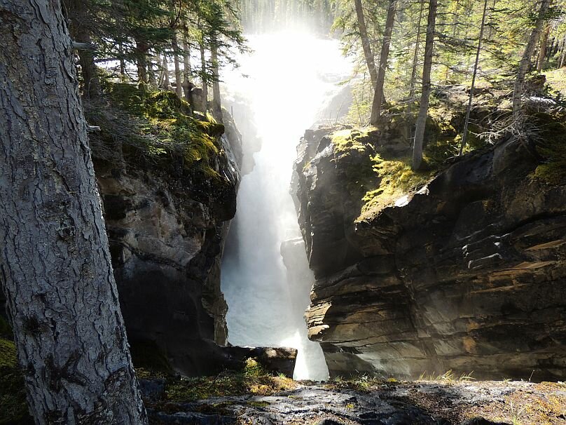
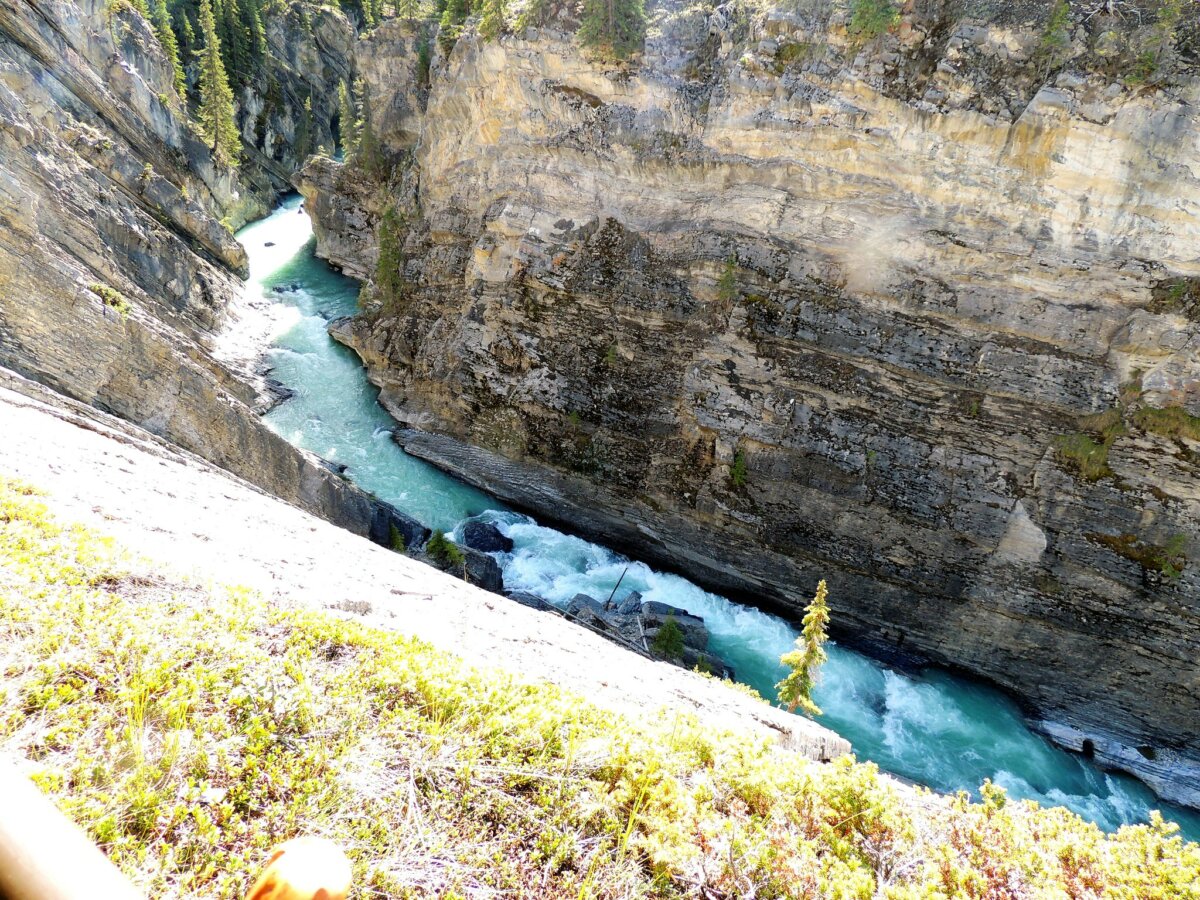
The waterfall is created from the rapid flow of the Siffleur River, a tributary of the North Saskatchewan River – which is where your hike begins!
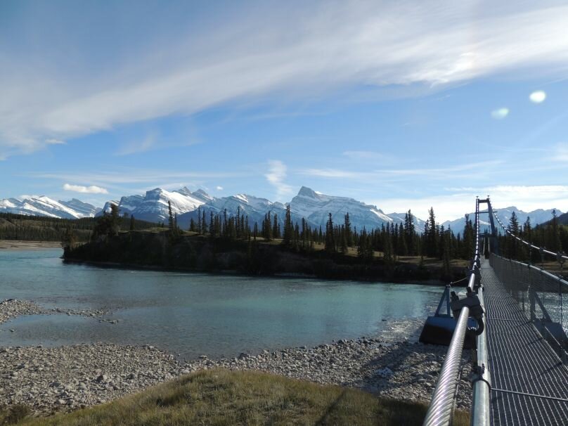
The hiking trail begins on the east side of Highway 11 at Siffleur Falls Staging Area Day Use Area. The trail is well-marked and easy to spot with the Topham Suspension Bridge near its start. From the bridge, you’re led toward a boardwalk on a scenic meadow, grassy and forested trails and up a slight incline as you follow the Siffleur River flowing through a deep canyon.
Continue along the trail to get closer to the falls tumbling down the Siffleur gorge after hiking a distance of approximately 4 km and take in the views from the Siffleur Falls viewpoint with guard-railed platforms.
If you are up to it, then continue for another 2.5 km to reach the second waterfalls (and rapids). Another 1.5 km hike will take to the third waterfall.
The hike takes about 3-4 hours and totals about 14 km out and back with an elevation gain of ~80 m.
Best time to go: May to October
How much: free
How to get there:
Directions – Siffleur Falls Staging Area Day Use
From the North – head west on Highway AB-11 from Rocky Mountain House. As the Highway bends south after Lake Abraham, Siffleur Falls Parking will be on your left
From the South – Head west on Highway AB-1 from Calgary. Follow AB-93 North after Lake Louise. Head east on AB-11 at the Saskatchewan River Crossing. Siffleur Falls Parking will be on your right.
Check out the video below:
For more information:
Kootenay Plains Ecological Reserve (Check for advisories)
Alberta Parks Information Sheet