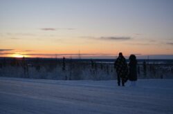
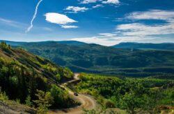
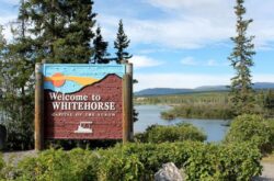
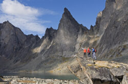
The highway stretches before you, winding its way through magnificent mountains and alongside lakes and rivers. Historical sites and fun activities await you. Wildlife abounds.
Credit: Victoria Harrison/To Do Canada
Photo opportunities are around every corner. This is the South Klondike Highway, the direct land route between Whitehorse, Yukon and Skagway, Alaska. This is an area to be savoured and enjoyed as you travel alongside the historic Gold Rush route.
The drive time is about 2 hours in total each way, but with the many stops you will want to make you should plan to use the whole day to explore the highway. From the turnoff on Alaska Highway to Skagway itself, the route is 157.7 kms (98 miles). If you have the time, take a day to travel to Skagway (and a day in the historic Alaskan town) and a day to travel back. There are many pullouts (so we don’t list every single one) and one official campground along the highway if you want to camp. Spending the night in Skagway requires hotel and camping reservations in advance, especially during the summer months of July and August.
Watch out for wildlife that may step into the road at any moment and don’t get out of your vehicle to take pictures of them. Make sure to take your passport to cross into Alaska. Be aware that there is only spotty cell phone service between Whitehorse and Carcross and no service at all between Carcross and Skagway. The only gas station is at Carcross.
From Whitehorse, drive 19 kilometres south on the Alaska Highway to the turnoff on the right side for the Klondike Highway and Carcross. This is where your adventure begins.
ROBINSON FLAG STATION

Credit: Victoria Harrison/To Do Canada
Approximately 18 kilometres down the highway on the right-hand side, there will be a rest area pullout for the Robinson Flag Station historic site. Hardly anyone stops here, so it is a great area to explore without hoards of tourists.
The historic buildings still stand, and there are interpretive displays that tell you the interesting story of the roadhouse. With a wander around the site, plan to spend 20 to 30 minutes exploring. There are pit toilets here as well.
EMERALD LAKE

Credit: Victoria Harrison/To Do Canada
The next major site along the highway is a natural one – Emerald Lake. From the Robinson rest area, continue down the highway for another 22 kilometres. There is a large pull-out area on the right-hand side of the highway that overlooks the lake and has some interesting informative displays about what causes the unique colours in the lake, along with other area information.
A 10 to 15-minute stop will probably be sufficient to snap some pics and read the signs. Be careful when you are pulling back onto the highway!
WILD ADVENTURE YUKON
This site offers a wildlife museum along with other displays, live husky pups and a chance to have a dog sled experience. This is a big destination for the big buses that come with cruise ship passengers from Skagway, so visiting first thing in the morning or later in the afternoon is advised to avoid the crowds. Also, on hot days, the huskies are not available.
Website
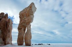
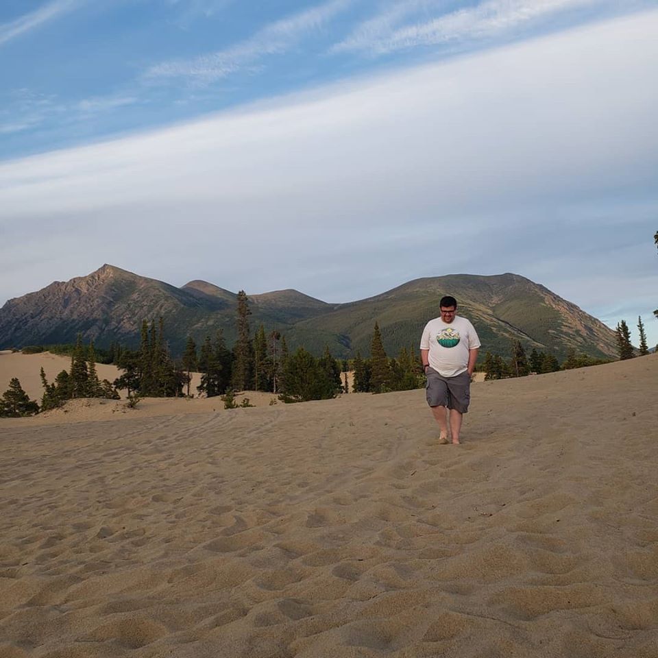
CARCROSS DESERT
Credit: Victoria Harrison/To Do Canada
Dubbed the smallest desert in the world, this destination is located on the left-hand side of the road, just another kilometre past Caribou Crossing. Although it is called a desert, this is actually an area created by retreating glaciers in the past. There are some great informational signs located in the parking area, and you can spend some time walking through the sand to get some unique pictures. Be aware that there is wildlife in the area, and bears have been spotted in the desert itself.
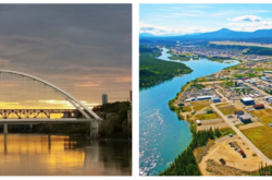
THE TOWN OF CARCROSS
Credit: Victoria Harrison/To Do Canada
Just down the road from the desert, you will find one of the oldest settlements in the Yukon. Carcross is still very much alive today, hosting tourists from all over the world.
Visit the information center for a walking tour booklet that will take you past the historic buildings of the town.
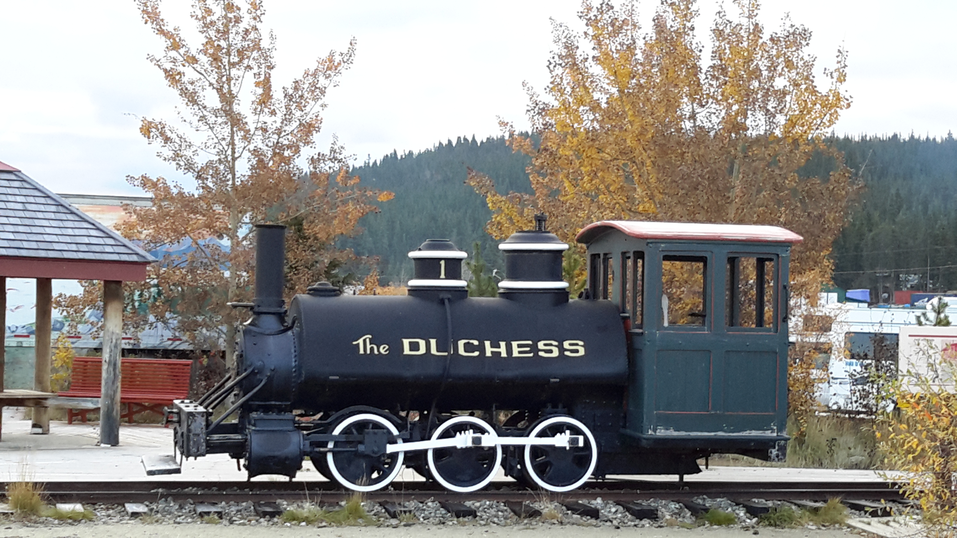
Browse through the small, locally owned shops with their handmade products and enjoy some history and goods at Matthew Watson General Store; grab a coffee at the unique Caribou Coffee and check out the historic Duchess steam engine or the woodcarving shop.
The historic Caribou Hotel has been rumoured to be haunted, and being recently renovated, you can now eat in the bar there.
The First Nations culture here is interesting, and there is a small beach with incredible views of the surrounding mountains and Bennett Lake.
Website
Credit: Victoria Harrison/To Do Canada
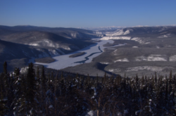
Once you depart Carcross, you will head into the wilderness. You are more likely to see wildlife along this section of the highway, so be aware when you get out at stops that there may be bears in the immediate area. There are plenty of places to pull off to take pictures, so please don’t stop on the highway.
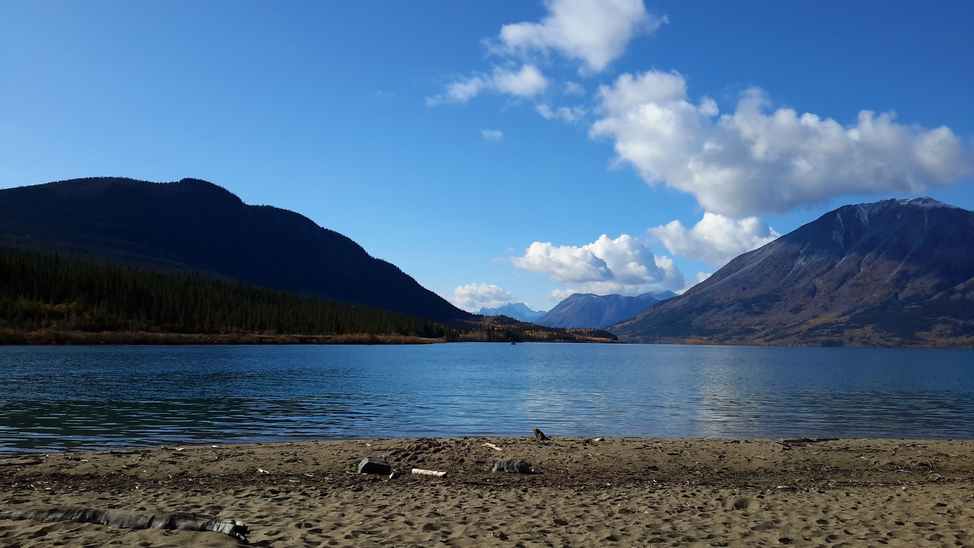
BOVE ISLAND
Credit: Victoria Harrison/To Do Canada
The Bove Island Viewpoint is located 11 kilometres down the road on the left-hand side. There are interpretive signs and great picture opportunities if you want to stretch your legs here. In the fall, you can see spectacular colours on the island itself. This is Tagish Lake and here, during the Gold Rush, there were a lot of boats wrecked due to strong winds. You can not access the lake itself from here.
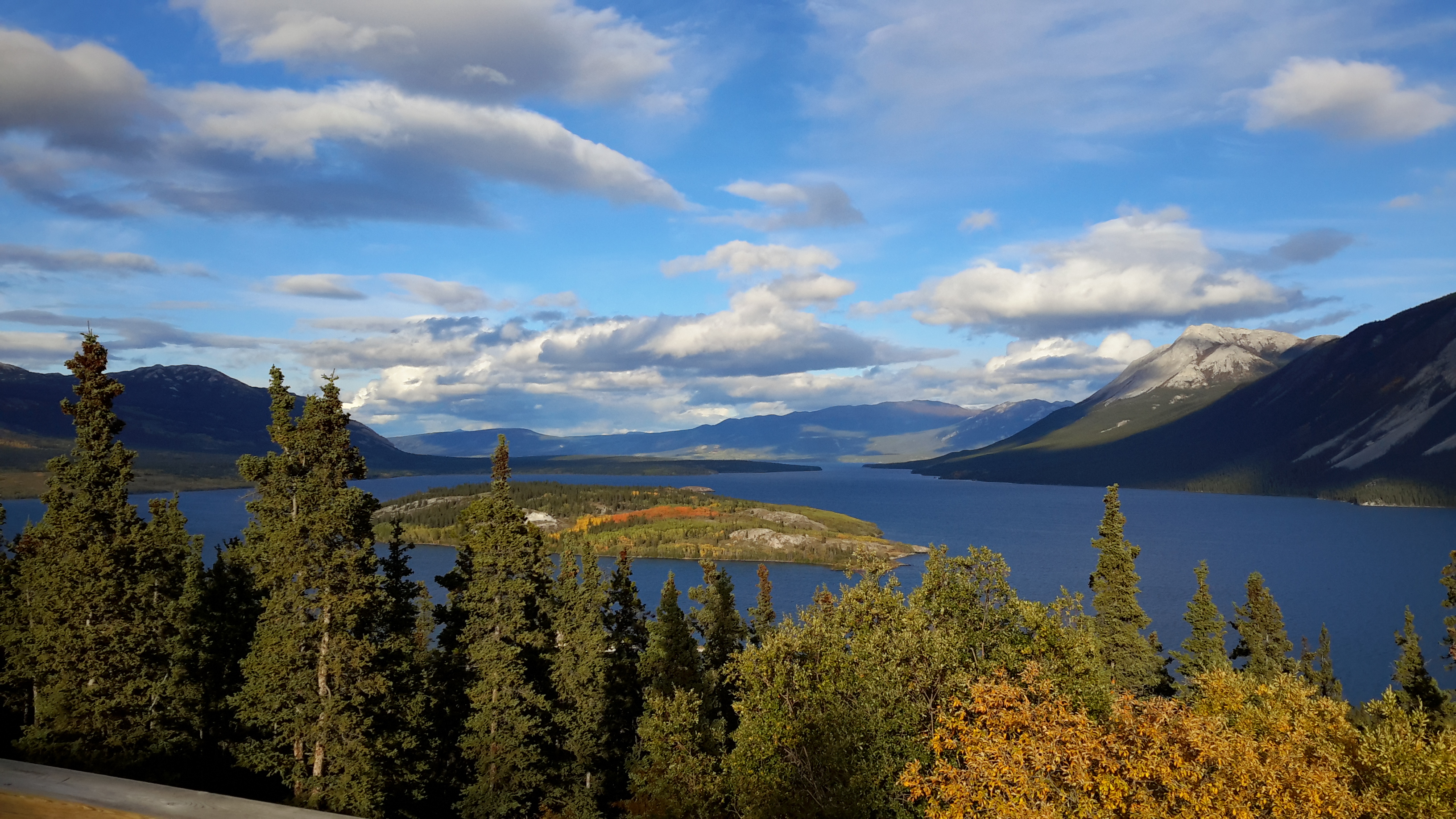
CONRAD CAMPGROUND AND TOWN SITE
Even if you are not spending the night, check out the views of the lake and the historic townsite of Conrad, which was built in the early 1900’s to support the nearby Venus Silver Mine. The wooden structures you see along the roadsides and up the mountains are remnants of the mining operations. If you are into hiking, you can also start the Sam McGee trail from here. There are pit toilets available if you require a bathroom stop.
Website
YUKON SIGN
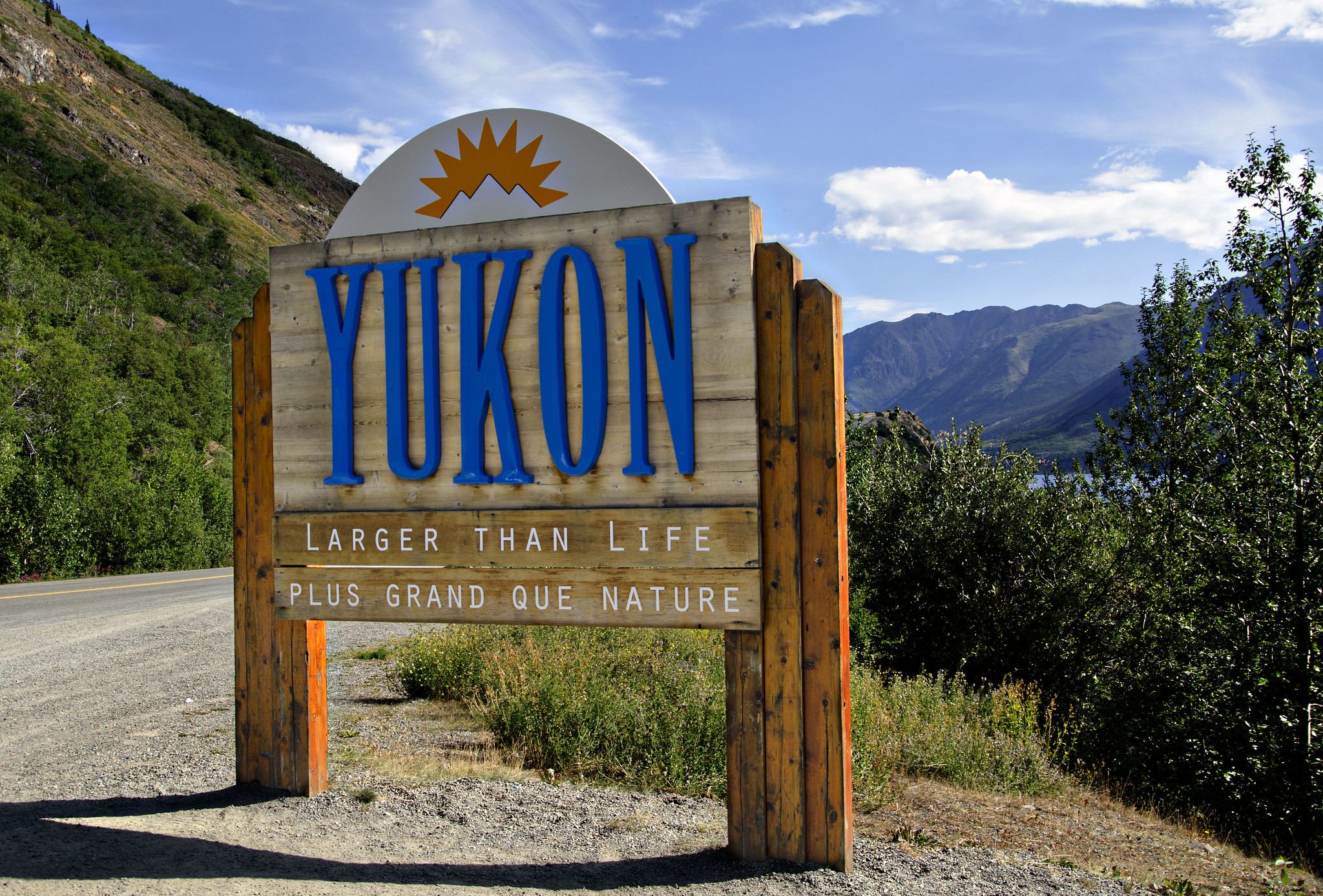
Credit: Victoria Harrison/To Do Canada
The Yukon sign is an interesting place to take a picture, and you may be wondering why it is located here instead of by the Alaska border. There is actually a small part of British Colombia between the Yukon and Alaska, which makes the perfect photo op for those travelling the highway.
Just 10 minutes down the road from Conrad Campground, the sign is in a large pullout on the left side. While you are there, take a look up the mountain on the left (as you face the sign) because it is very common to see herds of dall sheep and mountain goats up there!
Don’t be surprised if there are big buses in the pullout, as this is a very popular spot. If you are travelling the highway both ways, you may want to hit this one on your way back to avoid crossing the highway to turn in.
TUTSHI DOG SLEDS
You must turn left off the highway, so watch carefully for their small sign right before the turn. This place doesn’t look like much, but the owner – Michelle Phillips – is a famous Yukon Quest and Iditarod musher.
For a fee, you can cuddle with some husky pups, learn about mushing, and go on a husky pulled cart ride. This is an excellent stop for families.
Website
YUKON SUSPENSION BRIDGE
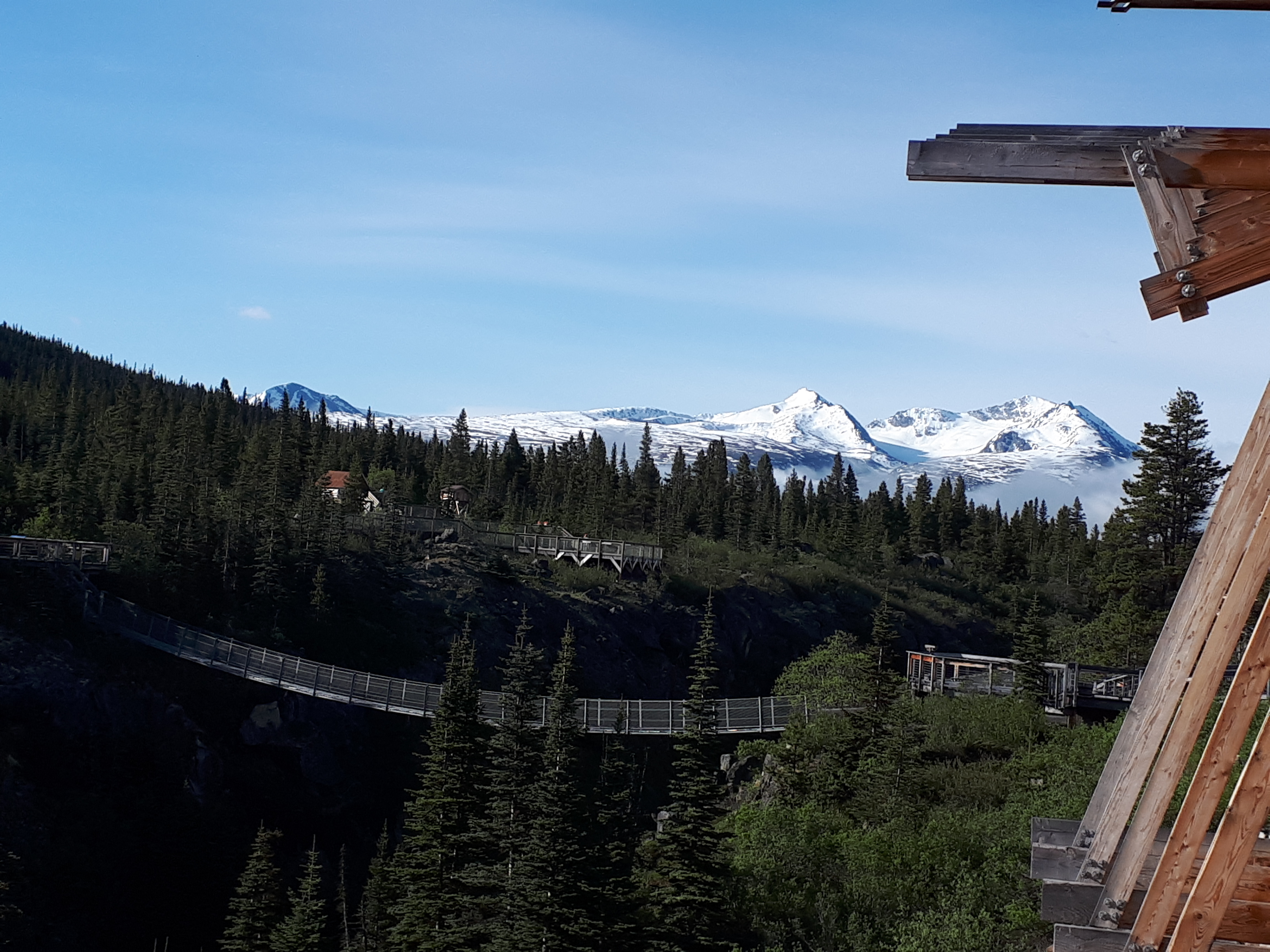
Credit: Victoria Harrison/To Do Canada
You come across this site in the middle of nowhere and can’t believe your eyes.
Located 26 kilometres farther down the road from the dog sled camp, this amazing family-owned business has been a fixture of the area since 2006. Continually growing its collection and displays, this is more than what the name suggests – it is an outdoor interpretive center with museum-quality displays with an easily accessible boardwalk, along with its 180-foot suspension bridge that takes visitors over the Tutshi River, with its Class V rapids and incredible views.
On clear days, the glacier on Teepee Mountain is easy to see, and wildlife sightings are common. The site also has a full-service café and gift shop, along with the cleanest (and indoor plumbing) bathrooms along the highway. There is a general admission fee to visit the site, and we suggest an hour to enjoy everything properly. Please note that bathrooms are only available for paid guests as they are located within the site itself.
Website
LOG CABIN
Two kilometers down the road on the right side you will find the Parks Canada site of Log Cabin. Along with some interpretive signs there are also pit toilets here. Many people informally camp here as the parking lot is very big. This is the end of the famous Chilkoot Trail and where most hikers come out. The original townsite is pretty much non-existent now, but it is an interesting place to stop to get some history of the Chilkoot Trail.
Website
FRASER – CANADA CUSTOMS
Credit: Victoria Harrison/To Do Canada
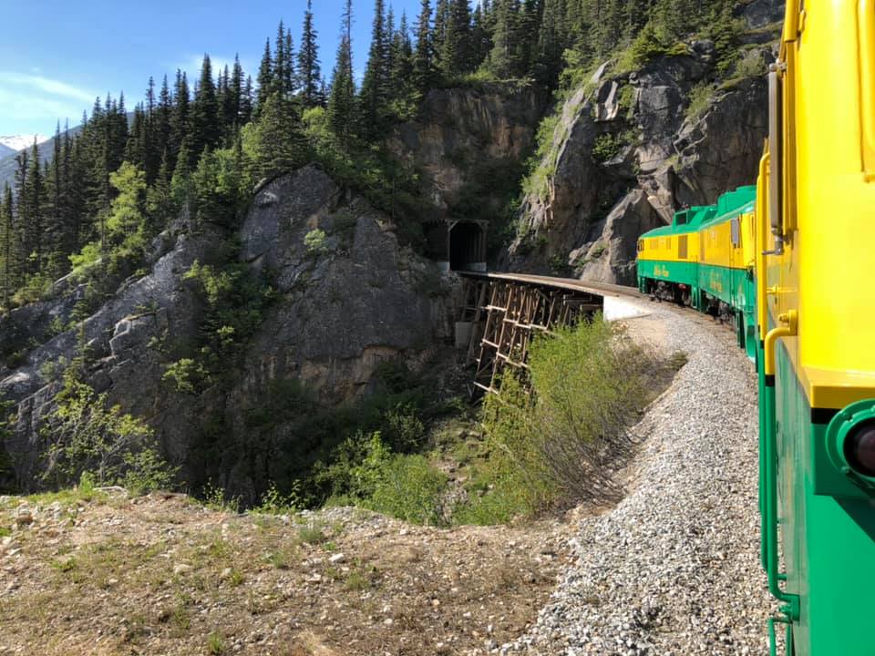
It might be strange for people to think that the Canadian and US customs buildings are not actually at the country’s borders, but because of the terrain, it was not possible to build exactly where the border is. You don’t have to stop at customs when you are heading down into Skagway, but we do suggest watching for the pullout on the left side of the road, right before customs, to get great viewpoints of the train station and the small lake.
If you do not have your passport, this is where you need to turn around.
The train depot here is where travellers arrive or depart on the famous White Pass and Yukon Rail train. The red building is the last water tower remaining on the WP&YR line from when steam locomotives were used.
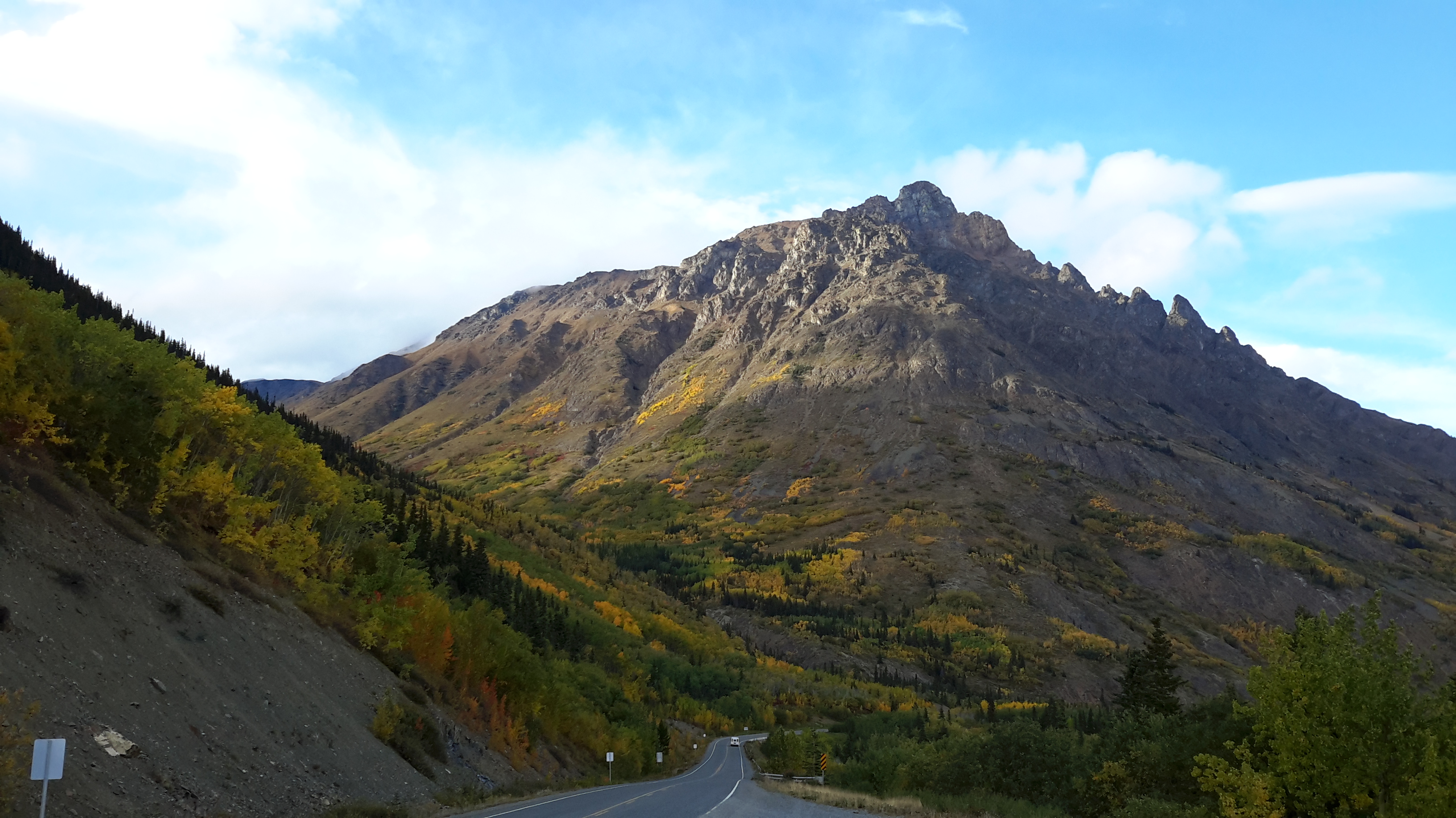
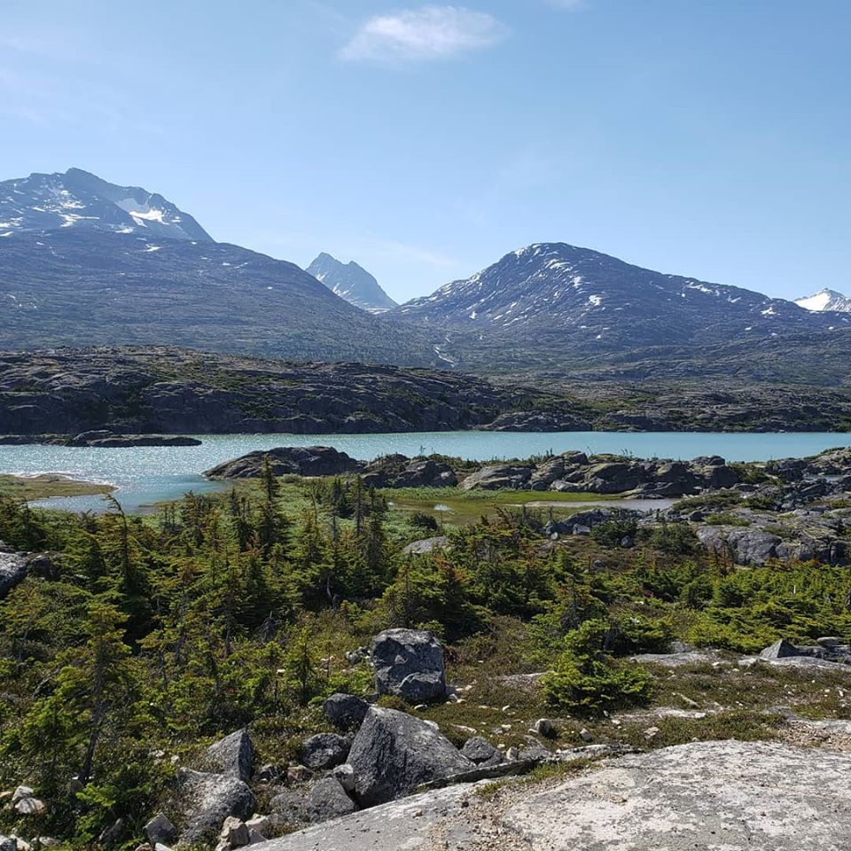
TORMENTED VALLEY
Credit: Victoria Harrison/To Do Canada
This is more of an area than a site. This unique valley stretches between Fraser and the Alaska sign and the terrain will have you stopping again and again for photos. This is a sub-arctic alpine tundra and was created by retreating glaciers. There are plenty of places to pull over and lots of hiking opportunities if you are willing to explore with no trails. At the end of Tormented Valley and up a little hill, you will find a parking area with pit toilets on the left side of the road.
INTERNATIONAL FALLS
Credit: Victoria Harrison/To Do Canada
If the day is nice and you have some time to hike, watch for a parking area on the right side known as the Feather/Cleveland Pullout. It is located approximately 12 kilometres from Fraser. There’s a bit of a steep descent with a rope, then it is about 4.5 kilometers on a well-marked trail. The views down the valley are impressive!
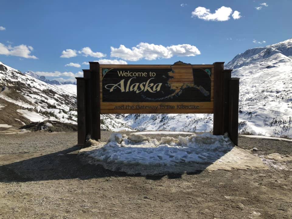
ALASKA SIGN
Credit: Victoria Harrison/To Do Canada
Of course, you couldn’t travel down into Skagway without stopping at the Alaska sign! It is less than a kilometre further than the pullout for the International Falls hike, so be prepared to stop! There is also a monument to the Klondike Gold Rush. When it is clear, there are incredible views of the Sawtooth and Whitepass mountains.
SKAGWAY RIVER VALLEY VIEWPOINT
WILLIAM MOORE BRIDGE
Less than a kilometer down the road you will find the newly reconstructed William Moore Bridge. There are plans to have pull off/parking areas here where travellers can stop to take pictures of the bridge and the views. There may also be information panels installed in the future. This bridge spans a very active earthquake fault and the original bridge was a unique suspension bridge which remains in place for photo ops.
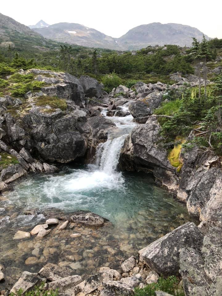
VARIOUS WATERFALLS AND PULLOUTS
Keep your eyes open for all the pullouts and parking places along the highway here, as many afford fabulous views of the mountains and waterfalls. Just two kilometres from the William Moore Bridge you will find a parking area on the right-hand side (don’t drive too fast or you will miss it!). This is where you can walk to the falls generally referred to as Bridal Veil Falls. This water is so pure that you could drink it.
US CUSTOMS
The US Customs office is located just 10 kilometers outside of Skagway, so when you arrive, you know you are close to the town itself. If you are not sure, check the border regulations on food items.
Website
From US Customs, there are a few other viewpoints available to pull out on, and of course, the endpoint is the historic town of Skagway, Alaska. There are plenty of things to do and see here; depending on your timeline, you could spend anywhere from one full day to several days exploring this area.
Originally published in 2020.