Credit: Robert Linsdell / Flickr
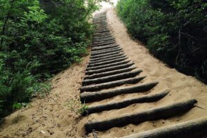
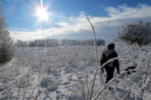
Located close to Winnipeg, Birds Hill Provincial Park is frequented by visitors throughout the year. A popular activity for visitors at the parks is cycling or hiking the many scenic trails. These trails range from distances of 1 km to 16 km. Go prepared with proper walking shoes, a hat, sunscreen, and drinking water.
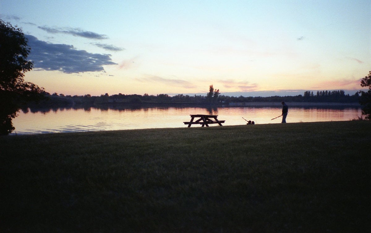
Cedar Bog Trail
Cedar Bog Trail is a heavily trafficked self-guided looped trail. The trail starts at a relatively high elevation and passes through an aspen forest. It then descends to a cool and damp cedar bog. The trail winds through regions of aspen and oak trees, grasslands, and eastern white cedar.
You can also spot many animals and birds in the park. Several benches are provided along the trail if you want to rest awhile.
The trailhead to the trail is located ≈ 6 km from the park entrance on North Drive. Trail Map
Distance: 3.5 km (1.5 hours)
View this post on Instagram
View this post on Instagram
Bur Oak Self-guiding Trail
A short 1 km looped trail with picnic tables and washrooms. This wheelchair-accessible trail is asphalt-covered and loops through a stand of gnarled bur oak. There are eight on-site interpretive signs on the trail. These signs describe the plants and animals that thrive in the area during each season. Directions
Own a pair of snowshoes? Try snowshoeing the trail in winter for a truly amazing winter experience. Details
Distance: 1 km (3 minutes)
Chickadee Trail and Viewing Tower
The trail starts at the Chickadee parking lot (located just off North Drive). At about midway is Griffiths Hill, the highest point in the area at 265 meters / 870 feet above sea level. Climb the viewing tower (situated on an old Lake Agassiz beach ridge) to get a westward view of the park. From the top, you can see beyond the park’s treed boundary. Directions
There are five on-site interpretive signs on the trail. The signs explain the formation of eskers and how these eskers have helped settlers in the region. Read more about the eskers at Birds Hill park here. Details
The Chickadee trail is a great place to enjoy cross-country ski in winter.
Distance: 4 km (2 hours)
Nimowin Self-guiding Trail
Peace and quiet. Understanding and reflecting on this is the purpose of the Nimowin trail. The trail winds through a number of disturbed areas and natural communities helping you gain an understanding of nature and how it rejuvenates itself. Details
The trail will be groomed for hiking and running in winter.
The trail is accessible from the end of Nimowin Road. Directions
Distance: 1.8 km (45 minutes)
Pine Ridge Self-guiding Trail
The Pine Ridge Self-guiding Trail is dedicated to the earlier residents of Pine Ridge. As you walk along the Old School Road and visit the various sites you will get a glimpse of the lives of the Pine Ridge residents in the ‘30s and 40s.
Located along the trail is the Kudlowich homestead. In making this homestead, the quicklime made from the limestone gravels found in the park was used. Details of the various sites in the trail are described in the trail brochure. Trail Brochure
Distance: 2.4 km
View this post on Instagram
Lime Kiln Trail
The Lime Kiln Trail is a 7.8 km looped trail. The trail starts at the riding stable to an old lime kiln used until the 1930s. The old kiln was used by John Donald, a ferry operator. The limestone gravel used in the kiln was quarried from Birds Hill and was used to make quicklime used for whitewash, plaster, mortar, and sewage treatment.
This quicklime made this way was used at the Kudlowich homestead (seen along the Pine Ridge Self-guiding Trail, see above).
Also located halfway around the trail near its north end is a warming shelter. Directions
Do note that the Lime Kiln trail will be a cross-country ski trail in winter.
Distance: 7.8 km
Prairie Winds Self-guiding Trail
The trail was formerly known as the White-tailed Deer Self-guiding Trail. You will have plenty of opportunities to watch the deer in its natural habitat.
The trail meanders through aspen groves and across large meadows. Located midway through the park is a viewing tower (at the opening to a grassland area). The on-site interpretive signs explain the biology, behaviour, habitat requirements and management of white-tailed deer in the park. Trail Brochure (PDF)
Distance: 1.5 km (1 hour)
Aspen Trail
The Aspen Trail is a looped trail starting at the riding stable near Nimowin Road and cuts through Group Use Area No. 1.
There is an old homestead to explore, beautiful wildflowers to see, and a viewing tower on the trail. Directions
Distance: 6.5 km
Bluestem Trail
The 14 km Bluestem looped trail also starts at the riding stable near Nimowin Road. The trail wraps around Group Use Area No. 1. Directions
This is a cross-country ski trail in winter.
Distance: 14 km
Duff Roblin Trail
This is a paved 2 km trail from the Duff Roblin Parkway Trail to the Cedar Bog Trail parking lot.
Distance: 2 km
Esker Trail
The Esker Trail is a looped trail that starts at the riding stable near Nimowin Road. The trail connects to the Chickadee and Bluestem trails at Griffiths Hill. In winter, it becomes a cross-country ski trail. Directions
Distance: 6 km
Lakeview trail
This is a 7.2 km looped paved (wheelchair accessible) trail that winds through woods and around the lake. The trail can start from the riding stable, East and West beach parking lots, and the campground. The trail crosses the North Drive at its northern end and connects with the Bluestem and Aspen trails.
The trail will not be groomed in the winter.
Distance: 7.2 km
View this post on Instagram
Spruce Trail
The Spruce trail is used for horseback riding, hiking, running in spring, summer and fall. In winter the trail is used for dog sledding, skijoring, kick sledding, and skate skiing (groomed).
The two-way Spruce Trail starts at the Nimowin trailhead and extends to the northern tip of the park. There is a 0.9 km turnaround at the northern end of the trail.
Distance: 10 .5 km return (two-way portion is 4 .8 km one-way; turnaround loop is 0 .9 km)
Tamarack Trail
The Tamarack Trail is used for horseback riding, hiking, running in spring, summer, and fall. Enjoy snowmobiling and dog sledding in winter.
This is an out-and-back trail with the trailhead located at the riding stable near Nimowin Road. Directions
Distance: 12 km
Hazelnut Trail
The Hazelnut trail starts from the same trailhead as the Tamarack Trail and will form a looped trail from spring through fall.
Do note that the northern section of the Hazelnut Trail will be part of the snowmobile route (Snoman 781) in winter and the southern section will be closed.
Do note that this will be a snowmobile trail in winter. Directions
Distance: 6.2 km trail (summer only)
Northern section (year-round use): 3.2 km (snowmobile trail in winter)
Southern section (spring-summer-fall use only): 3.0 km
Trans Canada Trail
The Trans Canada Trail enters the park from the east at Sapton Road and exits the west side of the park via the Duff Roblin Trail. This route follows existing trails and roads within the park.
Distance: 9.4 km
See the Summer Trail Map.
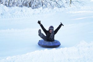
Winter Hiking
These trails can be used for winter hiking or running:
- 3 .5 km Cedar Bog Self-guided Trail
- 1 km Bur Oak Trail
- 2 km Duff Roblin Trail
- 2.4 km Pine Ridge Trail (not groomed)
- 1 .8 km Nimowin Trail
- 1 .5 km Prairie Winds Trail
- 4 .5 km Sparrow Trail
- 1.5 km Prairie Winds Trail (not groomed)